battle, major, interwar and Second World War
Battle of the Sutjeska
Battle of the Sutjeska was a battle fought on 15 May 1943 at Bosnia and Herzegovina; it lasted 32 days. It was part of Case Black. The recorded result: Inconclusive. Recorded strength: 127,000 men; 300+ aircraft against Around 22,148 men.
See it on the globe Read the article

Record
| Date | 15 May 1943 to 16 June 1943 | |
|---|---|---|
| Place | Bosnia and Herzegovina 43.346N, 18.688E | |
| Kind | Battle, interwar and Second World War | |
| Strength | 127,000 men; 300+ aircraft | Around 22,148 men |
| Casualties and losses | 583 killed, 1,760 wounded, 425 missing; 290 killed, 541 wounded, 1,502 missing; 40 killed, 166 wounded, 205 missing; Total casualties: 913 killed, 2,467 wounded, 2,132 missing | 1/3 killed and wounded; (6,391–7,543 killed and wounded); 2,537 pro-Partisan civilian sympathizers executed |
| Commanders |
|
|
The ground today
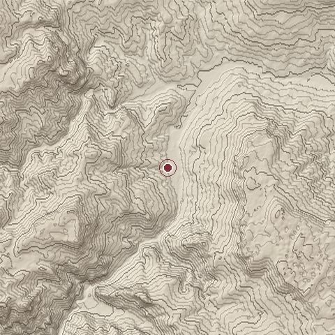
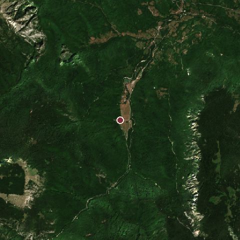
The recorded site stands at about 607 m; within 10.0 km the ground runs from 490 to 1,836 m, 1,346 m of relief, mountainous country and today it is 92% tree cover, 7% grassland.
Elevation from the Copernicus DEM GLO-30 (ESA, Airbus); land cover from ESA WorldCover 2021 (CC BY 4.0), within about 5 km of the recorded site. Computed, not recorded.Nearest engagements
- Battle of Vučji Do 1876, 50 km SW
- Siege of Rogatica 1941, 56 km NE
- Battle of Bileća 1388, 57 km S
- Siege of Sarajevo 1990, 62 km NW
- Operation Sarajevo 1945, 62 km N
Elsewhere in 1943
- Battle of Kursk Soviet Union
- Third Battle of Kharkov Ukraine
- Battle of the Dnieper Ukraine
- Battle of Tarawa Kiribati
- Battle of Kasserine Passe Tunisia
Battle of the Sutjeska is one of 2,997 engagements of the 20th century in the atlas and one of 43 in present-day Bosnia and Herzegovina.
Sources
Identity, coordinates, dates and the war from Wikidata Q1419973, released under CC0. Result, belligerents, commanders, strength and casualties from the infobox of the English Wikipedia article Operation Schwarz, revision 1380187893, read 2026-11-14, licensed CC BY-SA 4.0; the article's text is not reproduced here. Present-day country and state from Natural Earth. Dates before 1582 follow the Julian calendar as recorded.