siege, landmark, interwar and Second World War
Siege of Sevastopol
Siege of Sevastopol was a siege conducted on 30 October 1941 at Sevastopol, in what is now Russia; it lasted 8 months. It was part of history of Sevastopol. The recorded result: Axis victory.
See it on the globe Read the article

Record
| Date | 30 October 1941 to 4 July 1942 | |
|---|---|---|
| Place | Sevastopol, Russia 44.605N, 33.541E | |
| Kind | Siege, interwar and Second World War | |
| Strength | On 6 June 1942: 203,800 men; 65 assault guns; 1,300 guns and howitzers; 720 mortars; 803 aircraft | June 1942: 118,000 men; 600 guns and howitzers; 2,000 mortars; 1 battleship; 2 heavy cruisers; 1 light cruiser; 2 flotilla leaders; 6 destroyers; 9 minesweepers; 1 guardship; 24 submarines |
| Casualties and losses | 30 October 1941 – 4 July 1942: 70,000 casualties; 25,000 killed in action; June–July 1942: 35,866 men; 78 guns; 31 aircraft; 27,412; 4,264 killed; 21,626 wounded; 1,522 missing; 8,454; 1,597 killed; 6,571 wounded; 277 missing | 30 October 1941 – 4 July 1942: 200,481 men; 156,880 killed or captured; 53,601 wounded or sick; June–July 1942: 118,000 men; 95,000 captured (one-third wounded); 5,000 wounded; At least 18,000 killed |
| Commanders |
|
|


The ground today
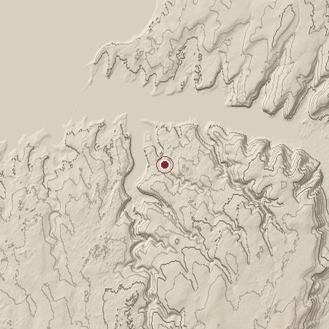
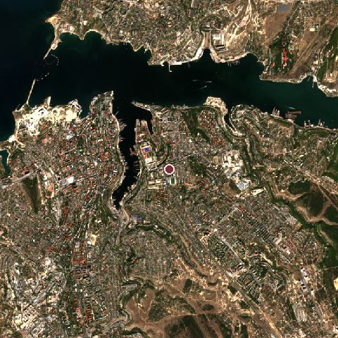
The recorded site stands at about 43 m; within 10.0 km the ground runs from 0 to 228 m, 228 m of relief, hilly country and today it is 53% built-up, 21% water, 18% tree cover.
Elevation from the Copernicus DEM GLO-30 (ESA, Airbus); land cover from ESA WorldCover 2021 (CC BY 4.0), within about 5 km of the recorded site. Computed, not recorded.Nearest engagements
- Battle of Malakoff 1855, 0.6 km E
- Siege of Sevastopol 1854, 2.3 km NW
- Battle of the Great Redan 1855, 2.3 km NW
- Battle of Balaclava 1854, 4.5 km SE
- Battle of Inkerman 1854, 4.6 km SE
Contested ground: this site was fought over 9 times between 1434 and 1941.
Elsewhere in 1941
- Attack on Pearl Harbor United States
- Siege of Leningrad Soviet Union
- Battle of Moscow Soviet Union
- Battle of Crete Greece
- Battle of Kiev Ukraine
Siege of Sevastopol is one of 2,997 engagements of the 20th century in the atlas and one of 350 in present-day Russia.
Sources
Identity, coordinates, dates and the war from Wikidata Q154860, released under CC0. Result, belligerents, commanders, strength and casualties from the infobox of the English Wikipedia article Siege of Sevastopol (1941–1942), revision 1375273439, read 2026-11-14, licensed CC BY-SA 4.0; the article's text is not reproduced here. Present-day country and state from Natural Earth. Dates before 1582 follow the Julian calendar as recorded.