battle, landmark, early modern
Battle of Sekigahara
Battle of Sekigahara was a battle fought on 21 October 1600 at Sekigahara, in what is now Japan. It was part of the Sekigahara Campaign. The recorded result: Eastern army victory. Recorded strength: 120,000 initially,; 81,890 by the time of battle against 75,000 initially,; 88,888 by the time of battle.
See it on the globe Read the article

Record
| Date | 21 October 1600 | |
|---|---|---|
| Place | Sekigahara, Japan 35.370N, 136.462E | |
| Kind | Battle, early modern | |
| Territorial change | Tokugawa clan gains nominal control of all Japan | |
| Strength | 120,000 initially,; 81,890 by the time of battle | 75,000 initially,; 88,888 by the time of battle |
| Casualties and losses | Sekigahara Gunki Taisei: 8,000–32,000 killed; Tokugawa Jikki; The Chronicles of Toshogu Shrine: 35,270 killed; Choyakyubun Hokou:30,000-35,270 (heads collected by the Eastern army after the battle); ~23,000 defected | Sekigahara Gunki Taisei: 4,000–10,000 killed; Tokugawa Jikki; The Chronicles of Toshogu Shrine: 8,000 killed |
| Commanders |
| |


The ground today
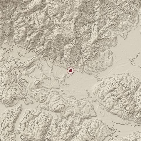
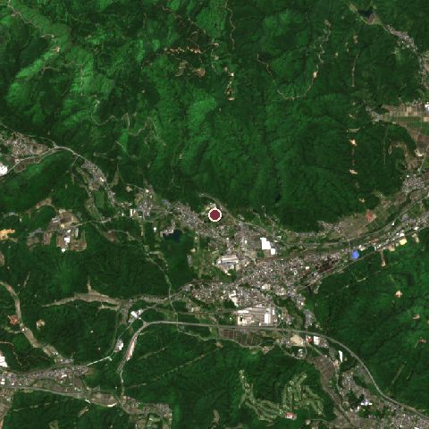
The recorded site stands at about 158 m; within 10.0 km the ground runs from 34 to 1,160 m, 1,127 m of relief, mountainous country and today it is 83% tree cover, 10% built-up, 4% cropland.
Elevation from the Copernicus DEM GLO-30 (ESA, Airbus); land cover from ESA WorldCover 2021 (CC BY 4.0), within about 5 km of the recorded site. Computed, not recorded.Nearest engagements
- Battle of Kuisegawa 1600, 11 km E
- Battle of Anegawa 1570, 14 km W
- Siege of Ōgaki Castle 1600, 14 km E
- Siege of Odani Castle 1573, 19 km NW
- Battle of Moribe 1561, 20 km E
In the same war
- Before: Siege of Uto 1600
Elsewhere in 1600
- Battle of Nieuwpoort Belgium
- Siege of Fushimi Japan
- Siege of Ueda Japan
- Battle of Karksi Estonia
- Battle of Imafuku Japan
Battle of Sekigahara is one of 1,390 engagements of the 16th century in the atlas and one of 481 in present-day Japan.
Sources
Identity, coordinates, dates and the war from Wikidata Q234188, released under CC0. Result, belligerents, commanders, strength and casualties from the infobox of the English Wikipedia article Battle of Sekigahara, revision 1380043536, read 2026-11-14, licensed CC BY-SA 4.0; the article's text is not reproduced here. Present-day country and state from Natural Earth. Dates before 1582 follow the Julian calendar as recorded.