battle, major, early modern
Battle of Anegawa
Battle of Anegawa was a battle fought on 30 July 1570 at Anegawa River, in what is now Japan. The recorded result: Oda–Tokugawa victory. Recorded strength: 28,000 total; (23,000 Oda troops, plus 5,000 from Tokugawa Ieyasu) against 18,000.
See it on the globe Read the article

Record
| Date | 30 July 1570 | |
|---|---|---|
| Place | Anegawa River, Japan 35.416N, 136.322E | |
| Kind | Battle, early modern | |
| Strength | 28,000 total; (23,000 Oda troops, plus 5,000 from Tokugawa Ieyasu) | 18,000 |
| Casualties and losses | 800 killed | 1,700 killed |
| Commanders |
| |


The ground today
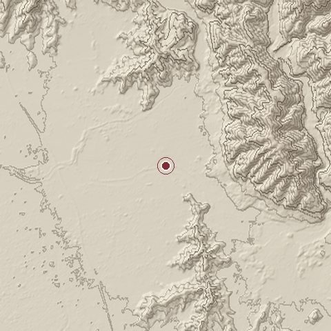
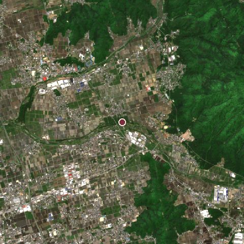
The recorded site stands at about 127 m; within 10.0 km the ground runs from 84 to 694 m, 611 m of relief, steep country and today it is 39% cropland, 33% tree cover, 25% built-up.
Elevation from the Copernicus DEM GLO-30 (ESA, Airbus); land cover from ESA WorldCover 2021 (CC BY 4.0), within about 5 km of the recorded site. Computed, not recorded.Nearest engagements
- Siege of Odani Castle 1573, 6.3 km NW
- Battle of Sekigahara 1600, 14 km E
- Battle of Shizugatake 1583, 15 km NW
- Battle of Kuisegawa 1600, 23 km E
- Battle of Norada 1560, 27 km SW
Elsewhere in 1570
- Siege of Famagusta Cyprus
- Sieges of Nagashima Japan
- Siege of Reval Estonia
- Battle of Manila Philippines
- Siege of Nicosia Northern Cyprus
Battle of Anegawa is one of 1,390 engagements of the 16th century in the atlas and one of 481 in present-day Japan.
Sources
Identity, coordinates, dates and the war from Wikidata Q964983, released under CC0. Result, belligerents, commanders, strength and casualties from the infobox of the English Wikipedia article Battle of Anegawa, revision 1384007056, read 2026-11-14, licensed CC BY-SA 4.0; the article's text is not reproduced here. Present-day country and state from Natural Earth. Dates before 1582 follow the Julian calendar as recorded.