battle, major, interwar and Second World War
Operation Sonnenblume
Operation Sonnenblume was a battle fought on 6 February 1941 at Cyrenaica, in what is now Libya; it lasted 4 months. It was part of the Mediterranean and Middle East Theater of World War II, which ran from 1940 to 1945. The recorded result: Axis victory.
See it on the globe Read the article

Where it sits in the Mediterranean and Middle East Theater of World War II
Record
| Date | 6 February 1941 to 25 May 1941 | |
|---|---|---|
| Place | Cyrenaica, Libya 27.000N, 17.000E | |
| Kind | Battle, interwar and Second World War | |
| Territorial change | Cyrenaica re-captured by Axis, Siege of Tobruk | |
The ground today
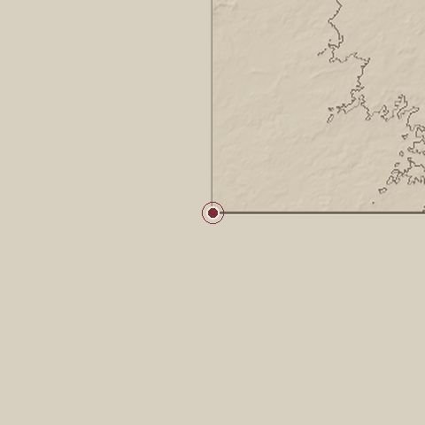
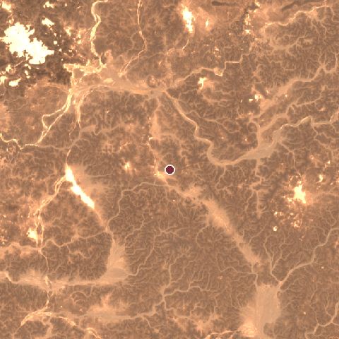
The recorded site stands at about 0 m; within 10.0 km the ground runs from 0 to 771 m, 771 m of relief, steep country and today it is 100% bare ground.
Elevation from the Copernicus DEM GLO-30 (ESA, Airbus); land cover from ESA WorldCover 2021 (CC BY 4.0), within about 5 km of the recorded site. Computed, not recorded.Nearest engagements
- Battle of El Agheila 1942, 422 km NE
- Battle of Bhopal 1737, 488 km SW
- Battle of Beda Fomm 1941, 571 km NE
- Battle of Aouzou 1987, 578 km S
- Battle of Misrata 1912, 626 km N
In the same war
- Before: Battle of Kufra 31 January 1941
- After: Battle of Cape Matapan 27 March 1941
- All 34 engagements of Mediterranean and Middle East Theater of World War II
Elsewhere in 1941
- Attack on Pearl Harbor United States
- Siege of Leningrad Soviet Union
- Battle of Moscow Soviet Union
- Battle of Crete Greece
- Battle of Kiev Ukraine
Operation Sonnenblume is one of 2,997 engagements of the 20th century in the atlas and one of 57 in present-day Libya.
Sources
Identity, coordinates, dates and the war from Wikidata Q708223, released under CC0. Result, belligerents, commanders, strength and casualties from the infobox of the English Wikipedia article Operation Sonnenblume, revision 1383779192, read 2026-11-14, licensed CC BY-SA 4.0; the article's text is not reproduced here. Present-day country and state from Natural Earth. Dates before 1582 follow the Julian calendar as recorded.