siege, major, medieval
Siege of Nicaea
Siege of Nicaea was a siege conducted on 19 June 1097 at İznik, in what is now Turkey. It was part of First Crusade, which ran from 1096 to 1099. The recorded result: Crusader-Byzantine victory.
See it on the globe Read the article

Where it sits in First Crusade
Record
| Date | 19 June 1097 to 19 June 1097 | |
|---|---|---|
| Place | İznik, Turkey 40.429N, 29.719E | |
| Kind | Siege, medieval | |
| Territorial change | Nicaea restored to the Byzantine Empire | |
| Strength | Crusaders: ~30,000 infantry; ~4,200–4,500 cavalry; Byzantines: 2,000 light infantry and naval support | Nicaean garrison: Unknown, but sizeable; Kilij Arslan's relief force: ~10,000, mostly mounted archers |
| Casualties and losses | Unknown | ~4,000 |
| Commanders | ||


The ground today
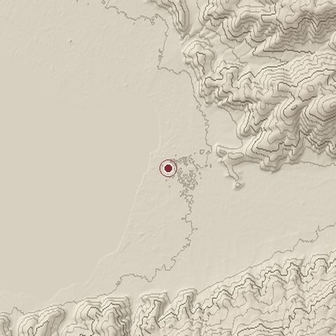
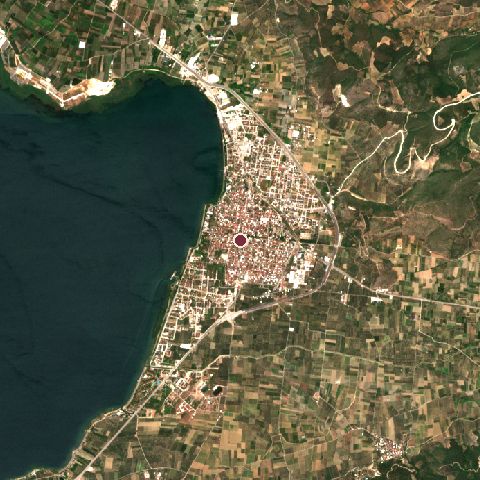
The recorded site stands at about 97 m; within 10.0 km the ground runs from 82 to 715 m, 633 m of relief, steep country and today it is 37% tree cover, 30% water, 14% cropland.
Elevation from the Copernicus DEM GLO-30 (ESA, Airbus); land cover from ESA WorldCover 2021 (CC BY 4.0), within about 5 km of the recorded site. Computed, not recorded.Nearest engagements
- Siege of Nicaea 1328, same recorded site
- Siege of Nicée 1077, same recorded site
- Siege of Nicaea 1113, same recorded site
- Siege of Nicaea AD 727, same recorded site
- Battle of Nicaea AD 193, 0.1 km W
Contested ground: this site was fought over 6 times between AD 193 and 1328.
In the same war
- Before: Siege of Xerigordon September 1096
- After: Battle of Dorylaeum 1 July 1097
- All 12 engagements of First Crusade
Elsewhere in 1097
- Battle of Gvozd Mountain Croatia
- Battle of Bairén Spain
- Battle of Consuegra Spain
- Battle of Suzdal Russia
Siege of Nicaea is one of 318 engagements of the 11th century in the atlas and one of 622 in present-day Turkey.
Sources
Identity, coordinates, dates and the war from Wikidata Q642117, released under CC0. Result, belligerents, commanders, strength and casualties from the infobox of the English Wikipedia article Siege of Nicaea, revision 1372939221, read 2026-11-14, licensed CC BY-SA 4.0; the article's text is not reproduced here. Present-day country and state from Natural Earth. Dates before 1582 follow the Julian calendar as recorded.