siege, major, medieval
Siege of Bukhara (1220)
Siege of Bukhara (1220) was a siege conducted in January 1220 at Bukhara, in what is now Uzbekistan. It was part of the Mongol invasion of Khwarazmian Empire and Eastern Iran, which ran from 1219 to 1221. The recorded result: Mongol victory. Recorded strength: Modern estimates range from 30,000 to 50,000 against Modern estimates range from 2,000 to 20,000.
See it on the globe Read the article
Where it sits in the Mongol invasion of Khwarazmian Empire and Eastern Iran
Record
| Date | January 1220 (month precision) | |
|---|---|---|
| Place | Bukhara, Uzbekistan 39.778N, 64.410E | |
| Kind | Siege, medieval | |
| Strength | Modern estimates range from 30,000 to 50,000 | Modern estimates range from 2,000 to 20,000 |
| Casualties and losses | Unknown | Most of the garrison |
| Commanders | ||


The ground today
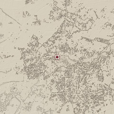
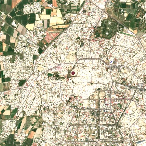
The recorded site stands at about 244 m; within 10.0 km the ground runs from 214 to 248 m, 33 m of relief, flat country and today it is 80% built-up, 17% cropland.
Elevation from the Copernicus DEM GLO-30 (ESA, Airbus); land cover from ESA WorldCover 2021 (CC BY 4.0), within about 5 km of the recorded site. Computed, not recorded.Nearest engagements
- Battle of Gol-Zarriun AD 560, 2.3 km SE
- Battle of Baykand AD 729, 32 km SW
- Siege of Kamarja AD 729, 169 km E
- Battle of Qatwan 1141, 213 km E
- Siege of Samarkand 1220, 218 km E
In the same war
- Before: Siege of of Ray 1220
- After: Siege of Gurganj September 1220
- All 19 engagements of Mongol invasion of Khwarazmian Empire and Eastern Iran
Elsewhere in 1220
- Battle of Lihula Estonia
- Siege of Lavaur France
- Battle of Helgastaðir Iceland
- Siege of Castelnaudary France
- Siege of Puylaurens France
Siege of Bukhara (1220) is one of 590 engagements of the 13th century in the atlas and one of 40 in present-day Uzbekistan.
Sources
Identity, coordinates, dates and the war from Wikidata Q110970851, released under CC0. Result, belligerents, commanders, strength and casualties from the infobox of the English Wikipedia article Siege of Bukhara, revision 1382470514, read 2026-11-14, licensed CC BY-SA 4.0; the article's text is not reproduced here. Present-day country and state from Natural Earth. Dates before 1582 follow the Julian calendar as recorded.