battle, major, interwar and Second World War
Battle for Velikiye Luki
Battle for Velikiye Luki was a battle fought in 1942 at Velikiye Luki, in what is now Russia; it ran into the following year. Its exact site is not recorded; the atlas places it at Velikiye Luki. It was part of Q261776. The recorded result: Soviet victory.
See it on the globe Read the article

Where it sits in Q261776
Record
| Date | 1942 (year precision) to 1943 | |
|---|---|---|
| Place | Velikiye Luki, Russia 56.350N, 30.517E | |
| Kind | Battle, interwar and Second World War | |
| Strength | LIX Korps – ~50,000 (on 19 Nov); Reinforcement forces: ~50,000 | 3rd Shock Army – 95,608 (on 19 Nov); Reinforcement forces: 86,700 |
| Casualties and losses | Western estimate: 5,000 KIA and MIA; 15,000 WIA; Soviet estimate: ~60,000; killed, missing or wounded, 4,500 captured | 104,022; 31,674 killed or missing; 72,348 wounded |
| Commanders |
|
|
The ground today
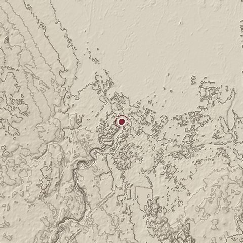
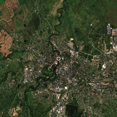
The recorded site stands at about 92 m; within 10.0 km the ground runs from 90 to 166 m, 76 m of relief, gently rolling country and today it is 31% grassland, 30% tree cover, 29% built-up.
Elevation from the Copernicus DEM GLO-30 (ESA, Airbus); land cover from ESA WorldCover 2021 (CC BY 4.0), within about 5 km of the recorded site. Computed, not recorded.Nearest engagements
- Siege of Velikiye Luki 1580, same recorded site
- Battle of Nevel 1943, 51 km SW
- Kholm Pocket 1942, 98 km NE
- Siege of Opochka 1517, 121 km W
- Battle of Klyastitsy 1812, 129 km SW
In the same war
- Before: Battle of Rzhev 1942
Elsewhere in 1942
- Battle of Stalingrad Russia
- Battle of Midway United States
- Battle of the Coral Sea
- Second Battle of El Alamein Egypt
- First Battle of El Alamein Egypt
Battle for Velikiye Luki is one of 2,997 engagements of the 20th century in the atlas and one of 350 in present-day Russia.
Sources
Identity, coordinates, dates and the war from Wikidata Q701195, released under CC0. Result, belligerents, commanders, strength and casualties from the infobox of the English Wikipedia article Battle of Velikiye Luki, revision 1370592318, read 2026-11-14, licensed CC BY-SA 4.0; the article's text is not reproduced here. Present-day country and state from Natural Earth. Dates before 1582 follow the Julian calendar as recorded.