battle, landmark, medieval
Battle of Ain Jalut
Battle of Ain Jalut was a battle fought on 3 September 1260 at Well of Harod, in what is now Israel. It was part of Mongol invasions and conquests, which ran from 1206 to 1337. The recorded result: Mamluk victory.
See it on the globe Read the article

Where it sits in Mongol invasions and conquests
Record
| Date | 3 September 1260 | |
|---|---|---|
| Place | Well of Harod, Israel 32.550N, 35.357E | |
| Kind | Battle, medieval | |
| Territorial change | The Mongols withdraw from the Levant and cede occupied territories to the Mamluk Sultanate | |
| Commanders |
|
|

The ground today
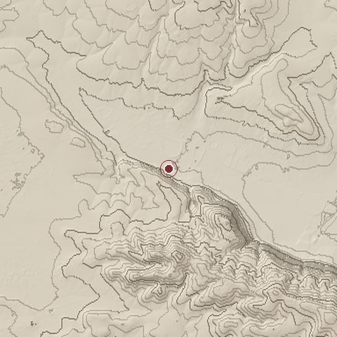
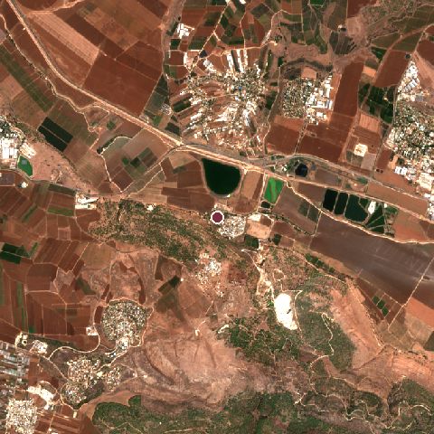
The recorded site stands at about -20 m; within 10.0 km the ground runs from -79 to 497 m, 576 m of relief, steep country and today it is 39% cropland, 26% grassland, 19% tree cover.
Elevation from the Copernicus DEM GLO-30 (ESA, Airbus); land cover from ESA WorldCover 2021 (CC BY 4.0), within about 5 km of the recorded site. Computed, not recorded.Nearest engagements
- Battle of Mount Tabor 1799, 7.5 km N
- Battle of Al-Fule 1183, 7.7 km NW
- Battle of Jenin 1948, 11 km SW
- Battle of Mount Tabor AD 67, 16 km N
- Siege of Mount Tabor 1217, 16 km N
In the same war
- Before: Siege of Aleppo 18 January 1260
- After: Siege of Mosul 1261
- All 30 engagements of Mongol invasions and conquests
Elsewhere in 1260
- Battle of Durbe Latvia
- Battle of Montaperti Italy
- First Battle of Homs Syria
- Siege of Constantinople Turkey
- Battle of Salé Morocco
Battle of Ain Jalut is one of 590 engagements of the 13th century in the atlas and one of 152 in present-day Israel.
Sources
Identity, coordinates, dates and the war from Wikidata Q244356, released under CC0. Result, belligerents, commanders, strength and casualties from the infobox of the English Wikipedia article Battle of Ain Jalut, revision 1384228069, read 2026-11-14, licensed CC BY-SA 4.0; the article's text is not reproduced here. Present-day country and state from Natural Earth. Dates before 1582 follow the Julian calendar as recorded.