battle, major, ancient
Battle of Watling Street
Battle of Watling Street was a battle fought in AD 60 in what is now United Kingdom. Its exact site is not recorded; the atlas places it at its recorded location. It was part of the Roman conquest of Britain, which ran from AD 43 to AD 84. The recorded result: Roman victory. Recorded strength: Final battle: 10,000 against 230,000 (Cassius Dio).
See it on the globe Read the article

Where it sits in the Roman conquest of Britain
Record
| Date | AD 60 (year precision) | |
|---|---|---|
| Place | United Kingdom 51.276N, 1.081E | |
| Kind | Battle, ancient | |
| Strength | Final battle: 10,000 | 230,000 (Cassius Dio) |
| Casualties and losses | Initial; Legio IX Hispana destroyed with near-total casualties; Garrisons of Camulodunum, Londinium, and Verulamium all killed; Final battle: 400 killed; 400+ wounded (Cassius Dio) | 80,000 (Cassius Dio); 70,000–80,000 civilians killed |
| Commanders |
| |


The ground today
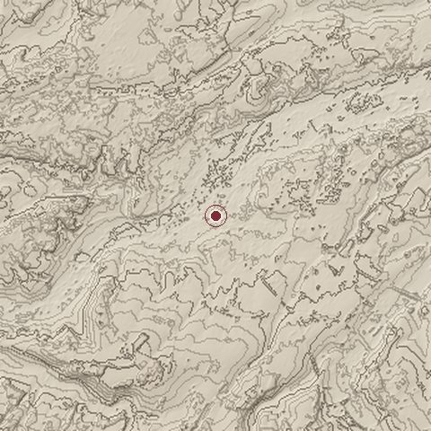
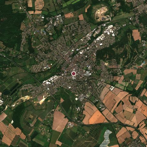
The recorded site stands at about 17 m; within 10.0 km the ground runs from 0 to 125 m, 125 m of relief, gently rolling country and today it is 39% tree cover, 23% grassland, 20% built-up.
Elevation from the Copernicus DEM GLO-30 (ESA, Airbus); land cover from ESA WorldCover 2021 (CC BY 4.0), within about 5 km of the recorded site. Computed, not recorded.Nearest engagements
- Siege of Canterbury 1011, 0.4 km NW
- Battle of Graveney Marsh 1940, 11 km NW
- Battle of Wippedesfleot AD 466, 19 km E
- Battle of Dover 1217, 23 km SE
- Siege of Dover Castle 1216, 24 km SE
In the same war
- Before: Battle of Caer Caradoc AD 50
- After: Battle of Londinium AD 60
- All 8 engagements of Roman conquest of Britain
Battle of Watling Street is one of 57 engagements of the 1st century in the atlas and one of 695 in present-day United Kingdom.
Sources
Identity, coordinates, dates and the war from Wikidata Q894999, released under CC0. Result, belligerents, commanders, strength and casualties from the infobox of the English Wikipedia article Defeat of Boudica, revision 1378736090, read 2026-11-14, licensed CC BY-SA 4.0; the article's text is not reproduced here. Present-day country and state from Natural Earth. Dates before 1582 follow the Julian calendar as recorded.