battle, major, Revolutionary and Napoleonic
Battle of Tippecanoe
Battle of Tippecanoe was a battle fought on 7 November 1811 at Battle Ground, in what is now Indiana, United States. It was part of the Tecumseh's War, which ran from 1810 to 1813. The recorded result: United States victory. Recorded strength: 500–700 warriors against 250 infantry,; 90 cavalry,; 700 militia.
See it on the globe Read the article

Record
| Date | 7 November 1811 | |
|---|---|---|
| Place | Battle Ground, Indiana, United States 40.505N, 86.845W | |
| Kind | Battle, Revolutionary and Napoleonic | |
| Strength | 500–700 warriors | 250 infantry,; 90 cavalry,; 700 militia |
| Casualties and losses | Unknown; 36 known dead (Estimated 50–65 killed and 70–80 wounded) + 1 POW | 62 killed,; 126 wounded |
| Commanders |
| |

The ground today
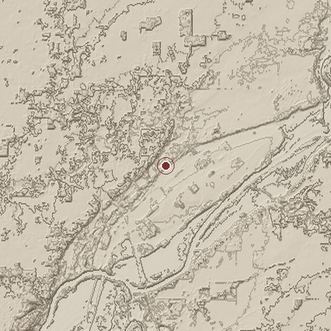
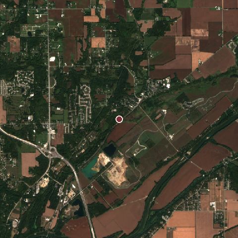
The recorded site stands at about 189 m; within 10.0 km the ground runs from 151 to 239 m, 88 m of relief, gently rolling country and today it is 42% tree cover, 28% cropland, 22% grassland.
Elevation from the Copernicus DEM GLO-30 (ESA, Airbus); land cover from ESA WorldCover 2021 (CC BY 4.0), within about 5 km of the recorded site. Computed, not recorded.Nearest engagements
- Siege of Fort Harrison 1812, 121 km SW
- Siege of Fort Wayne 1812, 157 km NE
- Battle of Fort Dearborn 1812, 164 km NW
- Siege of Fort Recovery 1794, 175 km E
- St. Clair's Defeat 1791, 177 km E
Elsewhere in 1811
- Battle of Albuera Spain
- Battle of Lissa Croatia
- Battle of the Gebora Spain
- Battle of Fuentes de Oñoro Spain
- Battle of Barrosa Spain
Battle of Tippecanoe is one of 3,507 engagements of the 19th century in the atlas and one of 1,148 in present-day United States (12 in Indiana).
Sources
Identity, coordinates, dates and the war from Wikidata Q379346, released under CC0. Result, belligerents, commanders, strength and casualties from the infobox of the English Wikipedia article Battle of Tippecanoe, revision 1383400264, read 2026-11-14, licensed CC BY-SA 4.0; the article's text is not reproduced here. Present-day country and state from Natural Earth. Dates before 1582 follow the Julian calendar as recorded.