battle, major, medieval
Battle of the Vorskla River
Battle of the Vorskla River was a battle fought on 12 August 1399 at Vorskla, in what is now Ukraine. It was part of Military conflicts between the Grand Duchy of Lithuania and the Golden Horde. The recorded result: Golden Horde victory. Recorded strength: 90,000 against 38,000 with 50 princes.
See it on the globe Read the article

Record
| Date | 12 August 1399 | |
|---|---|---|
| Place | Vorskla, Ukraine 48.904N, 34.122E | |
| Kind | Battle, medieval | |
| Territorial change | Lithuania loses the Black Sea coast and southern part of the Wild Fields to the Tatars; Smolensk, Novgorod, and Pskov rebel against Lithuania | |
| Strength | 90,000 | 38,000 with 50 princes |
| Casualties and losses | Unknown | most of the army destroyed (including 11 Teutonic Knights, notably Thomas Surville and Hanus) |
| Commanders |
|
|
The ground today
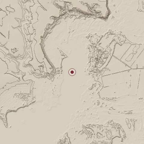
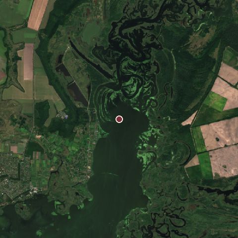
The recorded site stands at about 61 m; within 10.0 km the ground runs from 39 to 137 m, 98 m of relief, gently rolling country and today it is 32% tree cover, 29% water, 16% wetland.
Elevation from the Copernicus DEM GLO-30 (ESA, Airbus); land cover from ESA WorldCover 2021 (CC BY 4.0), within about 5 km of the recorded site. Computed, not recorded.Nearest engagements
- Battle of Zhovti Vody 1648, 42 km SW
- Battle of Kurukovo Lake 1625, 67 km W
- Battle of Poltava 1709, 87 km N
- Nikopol–Krivoi Rog Offensive 1944, 135 km S
- Siege of St. Elizabeth fortress 1769, 144 km W
Elsewhere in 1399
- Siege of Kiev Ukraine
- Battle of Alinja Azerbaijan
- Battle of Tragh-Bhaile United Kingdom
Battle of the Vorskla River is one of 566 engagements of the 14th century in the atlas and one of 301 in present-day Ukraine.
Sources
Identity, coordinates, dates and the war from Wikidata Q597478, released under CC0. Result, belligerents, commanders, strength and casualties from the infobox of the English Wikipedia article Battle of the Vorskla River, revision 1370602670, read 2026-11-14, licensed CC BY-SA 4.0; the article's text is not reproduced here. Present-day country and state from Natural Earth. Dates before 1582 follow the Julian calendar as recorded.