battle, major, medieval
Battle on the Marchfeld
Battle on the Marchfeld was a battle fought on 26 August 1278 at Lower Austria, in what is now Austria. The recorded result: Habsburg–Hungarian victory. Recorded strength: 18,000 men and cavalry; 2,000 men against 6,000 cavalry; ----1,000 heavy cavalry; 5,000 light cavalry.
See it on the globe Read the article

Record
| Date | 26 August 1278 | |
|---|---|---|
| Place | Lower Austria, Austria 48.482N, 16.877E | |
| Kind | Battle, medieval | |
| Strength | 18,000 men and cavalry; 2,000 men | 6,000 cavalry; ----1,000 heavy cavalry; 5,000 light cavalry |
| Casualties and losses | Heavy; less than Ottokar coalition | Heavy; More than Habsburg-Hungarian coalition |
| Commanders |
|
|
The ground today
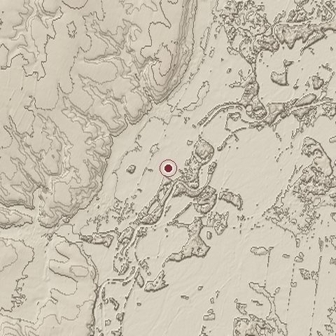
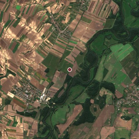
The recorded site stands at about 147 m; within 10.0 km the ground runs from 142 to 216 m, 75 m of relief, gently rolling country and today it is 61% cropland, 21% tree cover, 11% grassland.
Elevation from the Copernicus DEM GLO-30 (ESA, Airbus); land cover from ESA WorldCover 2021 (CC BY 4.0), within about 5 km of the recorded site. Computed, not recorded.Nearest engagements
- Battle of Wagram 1809, 31 km SW
- Battle of Blumenau 1866, 35 km S
- Battle of the Theben Pass 1060, 35 km S
- Siege of Hainburg 1482, 37 km S
- Battle of Aspern-Essling 1809, 41 km SW
Elsewhere in 1278
- Siege of Algeciras Spain
- Battle of Algeciras Spain
Battle on the Marchfeld is one of 590 engagements of the 13th century in the atlas and one of 66 in present-day Austria.
Sources
Identity, coordinates, dates and the war from Wikidata Q700194, released under CC0. Result, belligerents, commanders, strength and casualties from the infobox of the English Wikipedia article Battle on the Marchfeld, revision 1382481399, read 2026-11-14, licensed CC BY-SA 4.0; the article's text is not reproduced here. Present-day country and state from Natural Earth. Dates before 1582 follow the Julian calendar as recorded.