battle, landmark, nineteenth century
Battle of the Little Bighorn
Battle of the Little Bighorn was a battle fought on 25 June 1876 at Little Bighorn River, in what is now Montana, United States. It was part of the Great Sioux War of 1876, which ran from 1876 to 1877. The recorded result: Lakota, Northern Cheyenne, and Arapaho victory.
See it on the globe Read the article

Where it sits in the Great Sioux War of 1876
Record
| Date | 25 June 1876 | |
|---|---|---|
| Place | Little Bighorn River, Montana, United States 45.565N, 107.429W | |
| Kind | Battle, nineteenth century | |
| Commanders |
|
|


The ground today
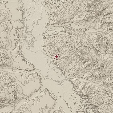
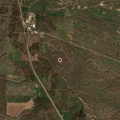
The recorded site stands at about 969 m; within 10.0 km the ground runs from 918 to 1,056 m, 138 m of relief, gently rolling country and today it is 77% grassland, 13% cropland, 5% tree cover.
Elevation from the Copernicus DEM GLO-30 (ESA, Airbus); land cover from ESA WorldCover 2021 (CC BY 4.0), within about 5 km of the recorded site. Computed, not recorded.Nearest engagements
- Hayfield Fight 1867, 43 km SW
- Battle of the Rosebud 1876, 51 km SE
- Battle of Little Muddy Creek 1877, 60 km E
- Battle of Pease Bottom 1873, 67 km N
- Battle of Prairie Dog Creek 1876, 71 km SE
In the same war
- Before: Battle of the Rosebud 17 June 1876
- After: Battle of Warbonnet Creek 17 July 1876
- All 11 engagements of Great Sioux War of 1876
Elsewhere in 1876
- Battle of Vučji Do Montenegro
- Battle of Gura Eritrea
- Battle of Fundina Montenegro
- Battle of Šumatovac Republic of Serbia
- Battle of Montejurra Spain
Battle of the Little Bighorn is one of 3,507 engagements of the 19th century in the atlas and one of 1,148 in present-day United States (17 in Montana).
Sources
Identity, coordinates, dates and the war from Wikidata Q205422, released under CC0. Result, belligerents, commanders, strength and casualties from the infobox of the English Wikipedia article Battle of the Little Bighorn, revision 1384823030, read 2026-11-14, licensed CC BY-SA 4.0; the article's text is not reproduced here. Present-day country and state from Natural Earth. Dates before 1582 follow the Julian calendar as recorded.