battle, landmark, ancient
Battle of the Hydaspes
Battle of the Hydaspes was a battle fought in May 326 BC at Jhelum River, in what is now Pakistan. It was part of Q125881465. The recorded result: Macedonian victory. Recorded strength: 45,000–47,000 total; 40,000 infantry against 22,000–54,000 total; 20,000–50,000 infantry.
See it on the globe Read the article

Record
| Date | May 326 BC (month precision) | |
|---|---|---|
| Place | Jhelum River, Pakistan 32.828N, 73.639E | |
| Kind | Battle, ancient | |
| Territorial change | Macedon annexes most of Punjab, from the Hydaspes to the Hyphasis (Beas River) | |
| Strength | 45,000–47,000 total; 40,000 infantry | 22,000–54,000 total; 20,000–50,000 infantry |
| Casualties and losses | ~1,000 total; 80–700 infantry killed | Diodorus; 12,000 killed |
| Commanders |
|
|


The ground today
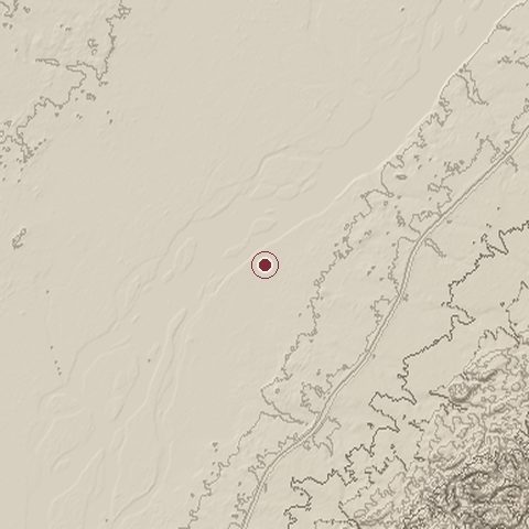
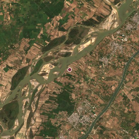
The recorded site stands at about 224 m; within 10.0 km the ground runs from 219 to 387 m, 168 m of relief, hilly country and today it is 51% cropland, 21% water, 10% shrubland.
Elevation from the Copernicus DEM GLO-30 (ESA, Airbus); land cover from ESA WorldCover 2021 (CC BY 4.0), within about 5 km of the recorded site. Computed, not recorded.Nearest engagements
- Battle of Jhelum - Indian Mutiny 1857, 15 km NE
- Battle of Nandana 1014, 39 km W
- Siege of Mirpur 1947, 42 km N
- Battle of Ramnagar 1848, 60 km S
- Battle of Chamb 1971, 71 km E
In the same war
- Before: Siege of Aornos 326 BC
Elsewhere in 326 BC
- Siege of Sangala Pakistan
Battle of the Hydaspes is one of 137 engagements of the 4th century BC in the atlas and one of 67 in present-day Pakistan.
Sources
Identity, coordinates, dates and the war from Wikidata Q213074, released under CC0. Result, belligerents, commanders, strength and casualties from the infobox of the English Wikipedia article Battle of the Hydaspes, revision 1370600276, read 2026-11-14, licensed CC BY-SA 4.0; the article's text is not reproduced here. Present-day country and state from Natural Earth. Dates before 1582 follow the Julian calendar as recorded.