battle, major, early modern
Battle of Talikota
Battle of Talikota was a battle fought on 26 January 1565 at Hampi, in what is now India. It was part of the Muslim conquest in the Indian subcontinent. The recorded result: Deccan Sultanates alliance victory; Sacking of Vijayanagara; Complete decline of the Vijayanagara Empire.
See it on the globe Read the article
Where it sits in the Muslim conquest in the Indian subcontinent
Record
| Date | 26 January 1565 | |
|---|---|---|
| Place | Hampi, India 16.473N, 76.312E | |
| Kind | Battle, early modern | |
| Commanders |
|
|
The ground today
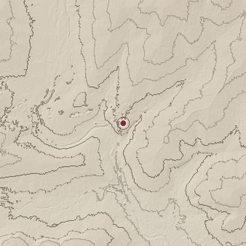
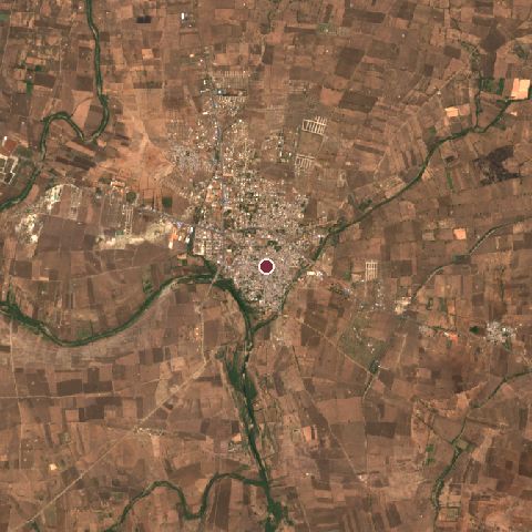
The recorded site stands at about 508 m; within 10.0 km the ground runs from 480 to 548 m, 68 m of relief, gently rolling country and today it is 80% cropland, 7% built-up, 6% grassland.
Elevation from the Copernicus DEM GLO-30 (ESA, Airbus); land cover from ESA WorldCover 2021 (CC BY 4.0), within about 5 km of the recorded site. Computed, not recorded.Nearest engagements
- Siege of Wagingera 1704, 42 km E
- Siege of Bijapur 1685, 75 km NW
- Siege of Badami 1786, 91 km SW
- Siege of Koppal 1790, 126 km S
- Siege of Nargund 1785, 129 km SW
In the same war
Elsewhere in 1565
- Siege of Malta Malta
- Battle of Fukuda Bay Japan
- Battle of Axtorna Sweden
- Action of 7 July 1565 Denmark
- Siege of Kuragano Japan
Battle of Talikota is one of 1,390 engagements of the 16th century in the atlas and one of 354 in present-day India.
Sources
Identity, coordinates, dates and the war from Wikidata Q1362188, released under CC0. Result, belligerents, commanders, strength and casualties from the infobox of the English Wikipedia article Battle of Talikota, revision 1376679482, read 2026-11-14, licensed CC BY-SA 4.0; the article's text is not reproduced here. Present-day country and state from Natural Earth. Dates before 1582 follow the Julian calendar as recorded.