siege, major, early modern
Siege of Osaka
Siege of Osaka was a siege conducted on 8 November 1614 at Osaka Castle, in what is now Japan; it ran into the following year. The recorded result: Tokugawa victory. Recorded strength: 164,000 (winter); 150,000 (summer) against 120,000 (winter); 60,000 (summer).
See it on the globe Read the article

Record
| Date | 8 November 1614 to June 1615 | |
|---|---|---|
| Place | Osaka Castle, Japan 34.640N, 135.520E | |
| Kind | Siege, early modern | |
| Territorial change | Destruction of the Toyotomi Clan | |
| Strength | 164,000 (winter); 150,000 (summer) | 120,000 (winter); 60,000 (summer) |
| Commanders |
|
|


The ground today
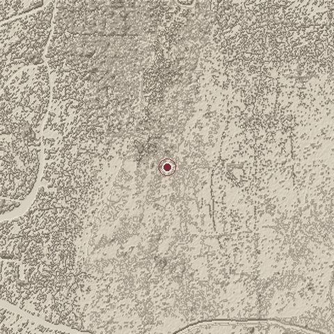
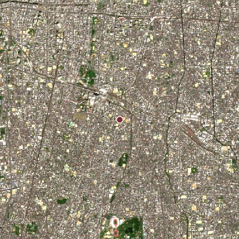
The recorded site stands at about 10 m; within 10.0 km the ground runs from -9 to 49 m, 58 m of relief, gently rolling country and today it is 97% built-up.
Elevation from the Copernicus DEM GLO-30 (ESA, Airbus); land cover from ESA WorldCover 2021 (CC BY 4.0), within about 5 km of the recorded site. Computed, not recorded.Nearest engagements
- Summer Siege of Osaka 1615, same recorded site
- Siege of Mitsuji 1576, 1.6 km N
- Battle of Tennōji 1615, 1.8 km NW
- Battle of Shariji 1547, 2.0 km NE
- Battle of Tennōji 1576, 2.3 km N
Contested ground: this site was fought over 12 times between 1547 and 1615.
Elsewhere in 1614
- Battle of Shigino Japan
- Battle of Kizugawa Japan
- Battle of Noda-Fukushima Japan
- Capture of Cambarão Iran
- Battle of Ristilahti Russia
Siege of Osaka is one of 1,470 engagements of the 17th century in the atlas and one of 481 in present-day Japan.
Sources
Identity, coordinates, dates and the war from Wikidata Q475780, released under CC0. Result, belligerents, commanders, strength and casualties from the infobox of the English Wikipedia article Siege of Osaka, revision 1378683811, read 2026-11-14, licensed CC BY-SA 4.0; the article's text is not reproduced here. Present-day country and state from Natural Earth. Dates before 1582 follow the Julian calendar as recorded.