battle, major, interwar and Second World War
Operation Pedestal
Operation Pedestal was a battle fought on 3 August 1942 at Mediterranean Sea, in what is now Spain; it lasted 12 days. It was part of Q682452. The recorded result: See Aftermath.
See it on the globe Read the article

Record
| Date | 3 August 1942 to 15 August 1942 | |
|---|---|---|
| Place | Mediterranean Sea, Spain 36.171N, 5.412W | |
| Kind | Battle, interwar and Second World War | |
The ground today
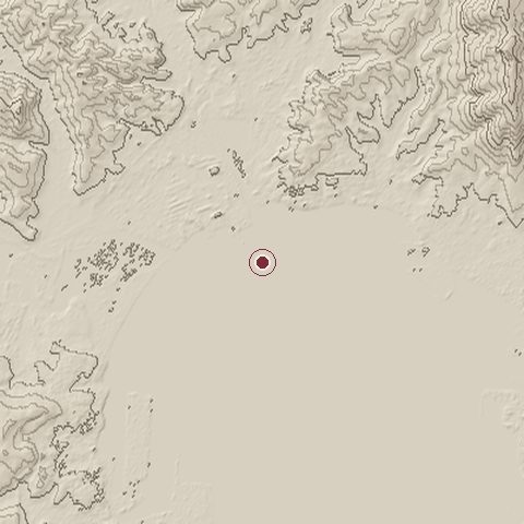
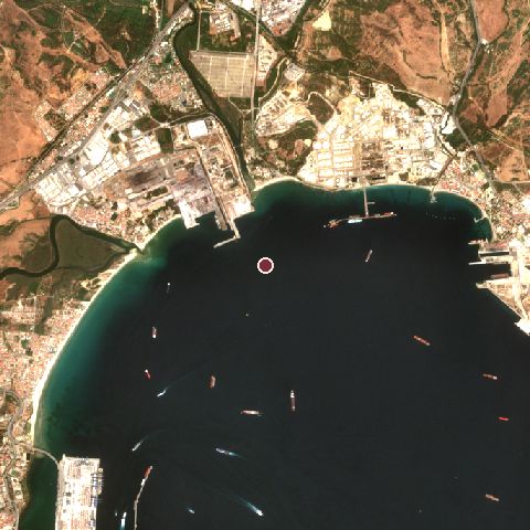
The recorded site stands at about 0 m; within 10.0 km the ground runs from -7 to 306 m, 313 m of relief, hilly country and today it is 61% water, 18% built-up, 9% grassland.
Elevation from the Copernicus DEM GLO-30 (ESA, Airbus); land cover from ESA WorldCover 2021 (CC BY 4.0), within about 5 km of the recorded site. Computed, not recorded.Nearest engagements
- Battle of Carteia 206 BC, 1.2 km S
- Battle of Gibraltar 1621, 3.8 km S
- Battle of Gibraltar 1607, 3.8 km S
- First Battle of Algeciras 1801, 4.5 km S
- Twelfth Siege of Gibraltar 1704, 6.1 km SE
Contested ground: this site was fought over 26 times between 206 BC and 1942.
In the same war
- Before: Operation Harpoon 1942
Elsewhere in 1942
- Battle of Stalingrad Russia
- Battle of Midway United States
- Battle of the Coral Sea
- Second Battle of El Alamein Egypt
- First Battle of El Alamein Egypt
Operation Pedestal is one of 2,997 engagements of the 20th century in the atlas and one of 1,070 in present-day Spain.
Sources
Identity, coordinates, dates and the war from Wikidata Q1927362, released under CC0. Result, belligerents, commanders, strength and casualties from the infobox of the English Wikipedia article Operation Pedestal, revision 1370694258, read 2026-11-14, licensed CC BY-SA 4.0; the article's text is not reproduced here. Present-day country and state from Natural Earth. Dates before 1582 follow the Julian calendar as recorded.