battle, major, medieval
Night attack at Târgoviște
Night attack at Târgoviște was a battle fought in 1462 in what is now Romania. Its exact site is not recorded; the atlas places it at its recorded location. It was part of Q10706569. The recorded result: Inconclusive.
See it on the globe Read the article
Where it sits in Q10706569
Record
| Date | 1462 (year precision) | |
|---|---|---|
| Place | Romania 44.924N, 25.457E | |
| Kind | Battle, medieval | |
| Strength | 30,000; 7,000–10,000 in battle | Contemporary estimates vary from 90,000 to 300,000; consisting of 15 tumens according to Mehmed II himself; 34,000–39,000 (modern estimate) |
| Casualties and losses | 5,000 dead; 2,700 captured | 10,000–15,000; insignificant military losses, consisting of only a few horses and camels; According to Konstantin Mihailovic, there were many horses and camels and several thousand Turks. |
| Commanders |
| |

The ground today
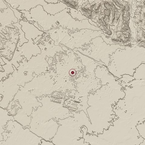
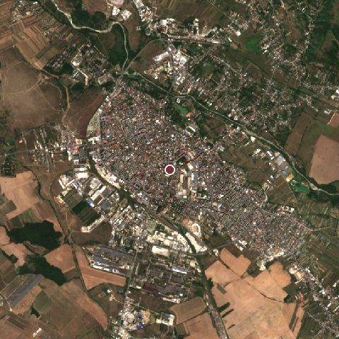
The recorded site stands at about 284 m; within 10.0 km the ground runs from 246 to 442 m, 196 m of relief, hilly country and today it is 37% built-up, 26% grassland, 20% tree cover.
Elevation from the Copernicus DEM GLO-30 (ESA, Airbus); land cover from ESA WorldCover 2021 (CC BY 4.0), within about 5 km of the recorded site. Computed, not recorded.Nearest engagements
- Battle of Finta 1653, 30 km SE
- Battle of Posada 1330, 42 km N
- Battle of Predeal Pass 1916, 66 km N
- Battle of Braşov 1603, 81 km N
- Battle of the Argeş 1916, 87 km SE
In the same war
- Before: Battle of Turnu 1462
Elsewhere in 1462
- Battle of Świecino Poland
- Eighth siege of Gibraltar United Kingdom
- Battle of Seckenheim Germany
- Siege of Barcelona Spain
- Battle of Piltown Ireland
Night attack at Târgoviște is one of 720 engagements of the 15th century in the atlas and one of 124 in present-day Romania.
Sources
Identity, coordinates, dates and the war from Wikidata Q2022139, released under CC0. Result, belligerents, commanders, strength and casualties from the infobox of the English Wikipedia article Night attack at Târgoviște, revision 1385494295, read 2026-11-14, licensed CC BY-SA 4.0; the article's text is not reproduced here. Present-day country and state from Natural Earth. Dates before 1582 follow the Julian calendar as recorded.