battle, major, medieval
Battle of Nahrawan
Battle of Nahrawan was a battle fought in AD 659 at Nahrawan Canal, in what is now Iraq. It was part of First Fitna, which ran from AD 656 to AD 661. The recorded result: Victory for Ali. Recorded strength: 14,000 against 2,800.
See it on the globe Read the article

Where it sits in First Fitna
Record
| Date | AD 659 (year precision) | |
|---|---|---|
| Place | Nahrawan Canal, Iraq 34.521N, 43.784E | |
| Kind | Battle, medieval | |
| Strength | 14,000 | 2,800 |
| Casualties and losses | 7 killed | 2,400 killed |
| Commanders |
|
|

The ground today
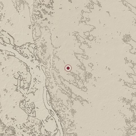
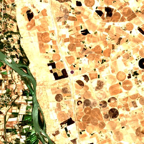
The recorded site stands at about 96 m; within 10.0 km the ground runs from 73 to 103 m, 29 m of relief, flat country and today it is 49% cropland, 27% bare ground, 12% grassland.
Elevation from the Copernicus DEM GLO-30 (ESA, Airbus); land cover from ESA WorldCover 2021 (CC BY 4.0), within about 5 km of the recorded site. Computed, not recorded.Nearest engagements
- Battle of Istabulat 1917, 50 km S
- Battle of Samarra 1733, 58 km SE
- Battle of al-Anbar AD 633, 61 km S
- Battle of Maskin AD 691, 88 km SE
- Battle of the Stragna River 1048, 105 km N
In the same war
- Before: Battle of Siffin 21 July AD 657
- All 3 engagements of First Fitna
Battle of Nahrawan is one of 179 engagements of the 7th century in the atlas and one of 173 in present-day Iraq.
Sources
Identity, coordinates, dates and the war from Wikidata Q2484843, released under CC0. Result, belligerents, commanders, strength and casualties from the infobox of the English Wikipedia article Battle of Nahrawan, revision 1382060382, read 2026-11-14, licensed CC BY-SA 4.0; the article's text is not reproduced here. Present-day country and state from Natural Earth. Dates before 1582 follow the Julian calendar as recorded.