battle, major, ancient
Battle of Megiddo
Battle of Megiddo was a battle fought on 16 April 1457 BC at Tel Megiddo, in what is now Israel. The recorded result: Egyptian victory; Territorial expansion of the Egyptian Empire. Recorded strength: Unknown; modern estimates: c. 10,800 against Unknown; modern estimates: c. 10,700.
See it on the globe Read the article

Record
| Date | 16 April 1457 BC | |
|---|---|---|
| Place | Tel Megiddo, Israel 32.585N, 35.184E | |
| Kind | Battle, ancient | |
| Strength | Unknown; modern estimates: c. 10,800 | Unknown; modern estimates: c. 10,700 |
| Casualties and losses | 4,000 killed; 1,000 wounded | 8,300 killed; 3,400 captured |
| Commanders |
| |
The ground today
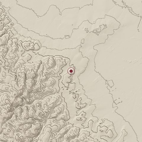
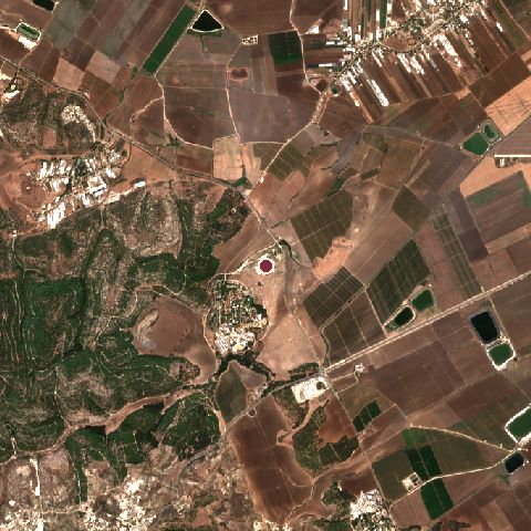
The recorded site stands at about 163 m; within 10.0 km the ground runs from 40 to 398 m, 358 m of relief, hilly country and today it is 42% cropland, 34% tree cover, 16% grassland.
Elevation from the Copernicus DEM GLO-30 (ESA, Airbus); land cover from ESA WorldCover 2021 (CC BY 4.0), within about 5 km of the recorded site. Computed, not recorded.Nearest engagements
- Battle of Megiddo 609 BC, 0.2 km SW
- Battle of Mishmar HaEmek 1948, 2.4 km NW
- Battle of Al-Fule 1183, 11 km E
- Battle of Mount Tabor 1799, 14 km E
- Battle of Arara 1918, 16 km SW
Contested ground: this site was fought over 3 times between 1457 BC and 1948.
Battle of Megiddo is one of 1 engagements of the 15th century BC in the atlas and one of 152 in present-day Israel.
Sources
Identity, coordinates, dates and the war from Wikidata Q733364, released under CC0. Result, belligerents, commanders, strength and casualties from the infobox of the English Wikipedia article Battle of Megiddo (15th century BC), revision 1370269307, read 2026-11-14, licensed CC BY-SA 4.0; the article's text is not reproduced here. Present-day country and state from Natural Earth. Dates before 1582 follow the Julian calendar as recorded.