battle, major, nineteenth century
Battle of Maipú
Battle of Maipú was a battle fought on 5 April 1818 at Santiago, in what is now Chile. It was part of the Chilean War of Independence. The recorded result: Patriot victory. Recorded strength: 5,000; 21 guns against 5,000; 12 guns.
See it on the globe Read the article

Where it sits in the Chilean War of Independence
Record
| Date | 5 April 1818 | |
|---|---|---|
| Place | Santiago, Chile 33.501S, 70.772W | |
| Kind | Battle, nineteenth century | |
| Strength | 5,000; 21 guns | 5,000; 12 guns |
| Casualties and losses | 1,000 | 2,000 killed; 3,000 captured |
| Commanders |
| |


The ground today
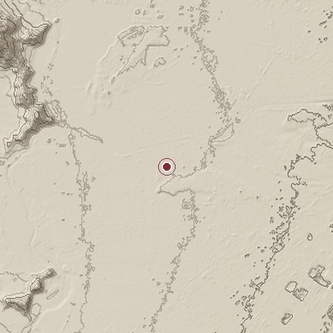
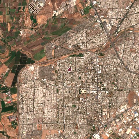
The recorded site stands at about 466 m; within 10.0 km the ground runs from 422 to 883 m, 461 m of relief, steep country and today it is 70% built-up, 13% cropland, 6% tree cover.
Elevation from the Copernicus DEM GLO-30 (ESA, Airbus); land cover from ESA WorldCover 2021 (CC BY 4.0), within about 5 km of the recorded site. Computed, not recorded.Nearest engagements
- Battle of Las Tres Acequias 1814, 16 km S
- Battle of Chacabuco 1817, 57 km N
- Battle of Papudo 1865, 128 km NW
- Battle of Mataquito 1557, 192 km SW
- Battle of Rodeo del Medio 1841, 203 km E
In the same war
- Before: Second Battle of Cancha Rayada 19 March 1818
- After: Battle of Talcahuano 1818
- All 16 engagements of Chilean War of Independence
Elsewhere in 1818
- Battle of Koregaon India
- Siege of Diriyah Saudi Arabia
- Battle of Multan Pakistan
- Battle of Gqokli Hill South Africa
- Battle of Kafir Qala Afghanistan
Battle of Maipú is one of 3,507 engagements of the 19th century in the atlas and one of 77 in present-day Chile.
Sources
Identity, coordinates, dates and the war from Wikidata Q1073849, released under CC0. Result, belligerents, commanders, strength and casualties from the infobox of the English Wikipedia article Battle of Maipú, revision 1382835483, read 2026-11-14, licensed CC BY-SA 4.0; the article's text is not reproduced here. Present-day country and state from Natural Earth. Dates before 1582 follow the Julian calendar as recorded.