siege, major, early modern
Siege of La Rochelle
Siege of La Rochelle was a siege conducted on 10 September 1627 at La Rochelle, in what is now France; it lasted 14 months. It was part of Huguenot rebellions, which ran from 1621 to 1629. The recorded result: French Royalist victory.
See it on the globe Read the article

Where it sits in Huguenot rebellions
Record
| Date | 10 September 1627 to 28 October 1628 | |
|---|---|---|
| Place | La Rochelle, France 46.167N, 1.150W | |
| Kind | Siege, early modern | |
| Strength | Siege army: 22,000; Toiras: 1,200 alongside 30–40 Spanish ships | La Rochelle: 27,000 civilians and soldiers; Buckingham: 80 ships, 7,000 soldiers |
| Casualties and losses | Siege army: Unknown; Toiras: 500 killed | La Rochelle: 22,000 killed; Buckingham: 5,000 killed |
| Commanders |
|
|


The ground today
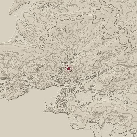
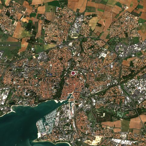
The recorded site stands at about 10 m; within 10.0 km the ground runs from 0 to 38 m, 39 m of relief, flat country and today it is 53% built-up, 16% grassland, 12% cropland.
Elevation from the Copernicus DEM GLO-30 (ESA, Airbus); land cover from ESA WorldCover 2021 (CC BY 4.0), within about 5 km of the recorded site. Computed, not recorded.Nearest engagements
- Battle of La Rochelle 1372, same recorded site
- Siege of La Rochelle 1572, 0.8 km S
- Allied Siege of La Rochelle 1944, 0.8 km S
- Blockade of La Rochelle 1621, 0.8 km S
- Siege of La Rochelle 1224, 0.8 km S
Contested ground: this site was fought over 8 times between 1224 and 1944.
In the same war
- Before: Recovery of Ré island September 1625
- After: Battle of Pont du Feneau 8 November 1627
- All 10 engagements of Huguenot rebellions
Elsewhere in 1627
- Turkish Abductions Iceland
- Battle of Oliwa Poland
- Siege of Groenlo Netherlands
- Battle of Dirschau Poland
- Siege of Saint-Martin-de-Ré France
Siege of La Rochelle is one of 1,470 engagements of the 17th century in the atlas and one of 1,383 in present-day France.
Sources
Identity, coordinates, dates and the war from Wikidata Q815170, released under CC0. Result, belligerents, commanders, strength and casualties from the infobox of the English Wikipedia article Siege of La Rochelle, revision 1381095963, read 2026-11-14, licensed CC BY-SA 4.0; the article's text is not reproduced here. Present-day country and state from Natural Earth. Dates before 1582 follow the Julian calendar as recorded.