battle, major, First World War
Battle of Kruty
Battle of Kruty was a battle fought on 17 January 1918 at Kruty, in what is now Ukraine. It was part of the Ukrainian–Soviet War, which ran from 1917 to 1921.
See it on the globe Read the article

Where it sits in the Ukrainian–Soviet War
Record
| Date | 17 January 1918 | |
|---|---|---|
| Place | Kruty, Ukraine 51.082N, 32.146E | |
| Kind | Battle, First World War | |
| Strength | Total: 600 soldiers; 500 students; 2 armored trains; ~100 Cossacks | Total: 3,000-4,000 soldiers; 1,000 men (strike force); 2,000+ men (reserves); 2 armored trains; artillery battery |
| Casualties and losses | Less than 260; 36 prisoners (28 later executed) | Heavy, about 300 |
| Commanders |
| |
The ground today
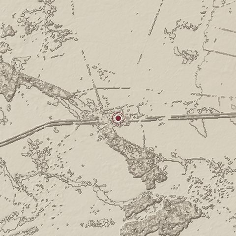
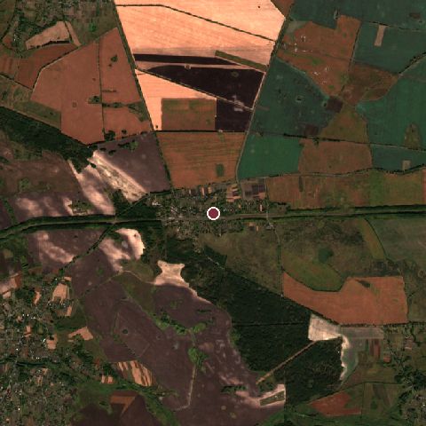
The recorded site stands at about 131 m; within 10.0 km the ground runs from 122 to 155 m, 34 m of relief, flat country and today it is 66% cropland, 17% tree cover, 16% grassland.
Elevation from the Copernicus DEM GLO-30 (ESA, Airbus); land cover from ESA WorldCover 2021 (CC BY 4.0), within about 5 km of the recorded site. Computed, not recorded.Nearest engagements
- Battle of Dohorynka 1921, 16 km S
- Battle of Bakhmach 1918, 49 km E
- Sack of Baturyn 1708, 57 km NE
- Battle of Konotop 1659, 72 km E
- Siege of Chernihiv 1534, 75 km NW
In the same war
Elsewhere in 1918
- Second Battle of the Marne France
- Battle of Sardarabad Armenia
- Battle of Vittorio Veneto Italy
- Battle of Amiens France
- Battle of the Piave River Italy
Battle of Kruty is one of 2,997 engagements of the 20th century in the atlas and one of 301 in present-day Ukraine.
Sources
Identity, coordinates, dates and the war from Wikidata Q644021, released under CC0. Result, belligerents, commanders, strength and casualties from the infobox of the English Wikipedia article Battle of Kruty, revision 1380613346, read 2026-11-14, licensed CC BY-SA 4.0; the article's text is not reproduced here. Present-day country and state from Natural Earth. Dates before 1582 follow the Julian calendar as recorded.