battle, major, interwar and Second World War
Battle of Kohima
Battle of Kohima was a battle fought in 1944 at Kohima, in what is now India. It was part of Operation U-Go. The recorded result: Allied victory.
See it on the globe Read the article

Where it sits in Operation U-Go
Record
| Date | 1944 (year precision) to 22 June 1944 | |
|---|---|---|
| Place | Kohima, India 25.668N, 94.103E | |
| Kind | Battle, interwar and Second World War | |
| Strength | Start: 1 infantry brigade (1,500); End: 2 infantry divisions; 1 Chindit brigade; 1 motor brigade | 1 infantry division (15,000–20,000) |
| Casualties and losses | 4,064 | 5,764–7,000; (Combat deaths only, more lost to disease and starvation) |
| Commanders |
|
|
The ground today
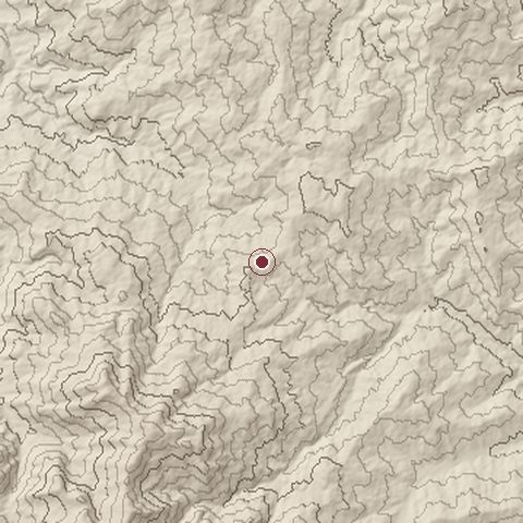
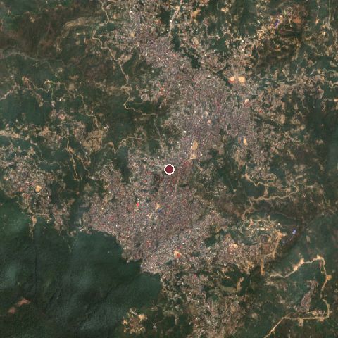
The recorded site stands at about 1,470 m; within 10.0 km the ground runs from 781 to 2,374 m, 1,593 m of relief, mountainous country and today it is 64% tree cover, 26% built-up, 6% grassland.
Elevation from the Copernicus DEM GLO-30 (ESA, Airbus); land cover from ESA WorldCover 2021 (CC BY 4.0), within about 5 km of the recorded site. Computed, not recorded.Nearest engagements
- Battle of the Tennis Court 1944, same recorded site
- Battle of Imphal 1944, 96 km S
- Battle of Shangshak 1944, 97 km S
- Battle of Dhalai 1971, 280 km SW
- Battle of Se La Pass 1962, 285 km NW
In the same war
- After: Battle of Imphal 8 March 1944
- All 4 engagements of Operation U-Go
Elsewhere in 1944
- Normandy landings France
- Battle of Monte Cassino Italy
- Liberation of Paris France
- Battle of Leyte Gulf Philippines
- Battle of Aachen Germany
Battle of Kohima is one of 2,997 engagements of the 20th century in the atlas and one of 354 in present-day India.
Sources
Identity, coordinates, dates and the war from Wikidata Q383614, released under CC0. Result, belligerents, commanders, strength and casualties from the infobox of the English Wikipedia article Battle of Kohima, revision 1379110389, read 2026-11-14, licensed CC BY-SA 4.0; the article's text is not reproduced here. Present-day country and state from Natural Earth. Dates before 1582 follow the Julian calendar as recorded.