battle, major, early modern
Battle of Karánsebes
Battle of Karánsebes was a battle fought on 21 September 1788 at Caransebeș, in what is now Romania. It was part of the Austro-Turkish War of 1788–1791, which ran from 1788 to 1791. The recorded result: Ottoman victory. Recorded strength: 80,000–100,000 soldiers against None.
See it on the globe Read the article
Where it sits in the Austro-Turkish War of 1788–1791
Record
| Date | 21 September 1788 | |
|---|---|---|
| Place | Caransebeș, Romania 45.421N, 22.222E | |
| Kind | Battle, early modern | |
| Territorial change | Capture of Karánsebes by the Ottomans | |
| Strength | 80,000–100,000 soldiers | None |
| Casualties and losses | Between 150 and 10,000 killed or wounded | None |
| Commanders |
|
|
The ground today
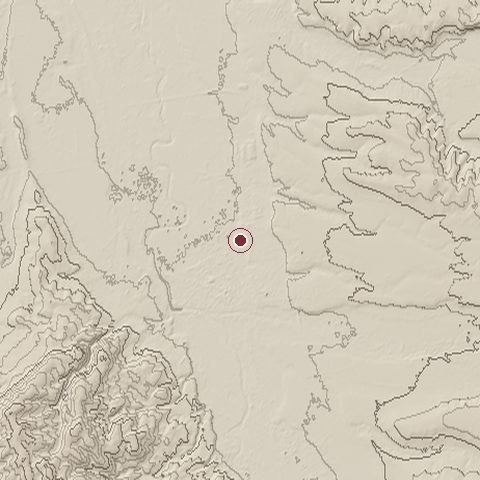
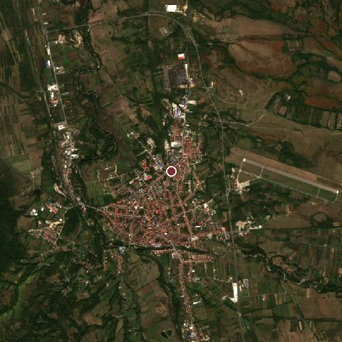
The recorded site stands at about 205 m; within 10.0 km the ground runs from 178 to 534 m, 356 m of relief, hilly country and today it is 44% grassland, 33% tree cover, 14% built-up.
Elevation from the Copernicus DEM GLO-30 (ESA, Airbus); land cover from ESA WorldCover 2021 (CC BY 4.0), within about 5 km of the recorded site. Computed, not recorded.Nearest engagements
- Battle of Lugos 1695, 34 km NW
- Third Battle of Tapae AD 101, 40 km E
- Battle of Tapae AD 87, 40 km E
- Battle of Mehadia 1788, 59 km S
- Battle of Piski 1849, 79 km NE
In the same war
- Before: Siege of Veterani Cave 1788
- After: Siege of Belgrade 15 September 1789
- All 5 engagements of Austro-Turkish War of 1788–1791
Elsewhere in 1788
- Siege of Ochakov Ukraine
- Battle of Fidonisi
- Battle of Hogland Russia
- Battle of Ngọc Hồi–Đống Đa Vietnam
- Naval actions at the siege of Ochakov Ukraine
Battle of Karánsebes is one of 2,009 engagements of the 18th century in the atlas and one of 124 in present-day Romania.
Sources
Identity, coordinates, dates and the war from Wikidata Q2309898, released under CC0. Result, belligerents, commanders, strength and casualties from the infobox of the English Wikipedia article Battle of Karánsebes, revision 1382610627, read 2026-11-14, licensed CC BY-SA 4.0; the article's text is not reproduced here. Present-day country and state from Natural Earth. Dates before 1582 follow the Julian calendar as recorded.