battle, major, Cold War
Battle of Karameh
Battle of Karameh was a battle fought on 21 March 1968 at Karameh, in what is now Jordan. It was part of the War of Attrition, which ran from 1967 to 1970.
See it on the globe Read the article

Record
| Date | 21 March 1968 | |
|---|---|---|
| Place | Karameh, Jordan 31.950N, 35.580E | |
| Kind | Battle, Cold War | |
| Strength | About 15,000; 47 tanks; (1 armored brigade; 1 infantry brigade; 1 paratroop battalion; 1 engineering battalion; 5 artillery battalions) | 2nd armored division; (10 artillery batteries; 4 brigades; 1 Patton tank battalion); 900–1000 fighters |
| Casualties and losses | Israel: 28– 33 dead; 69 – 161 wounded; 27 tanks damaged, 4 left behind; 2 APCs; 2 vehicles; 1 aircraft | Jordan: 40–84 dead; 108– 250 wounded; 4 captured; 28 tanks damaged, 2 captured; PLO: 156 dead; ~100 wounded; 141 captured; 175 buildings destroyed |
| Commanders |
|
|


The ground today
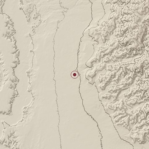
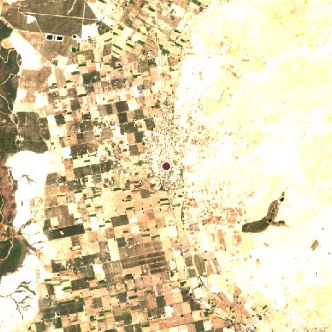
The recorded site stands at about -260 m; within 10.0 km the ground runs from -379 to 302 m, 681 m of relief, steep country and today it is 38% bare ground, 27% cropland, 17% tree cover.
Elevation from the Copernicus DEM GLO-30 (ESA, Airbus); land cover from ESA WorldCover 2021 (CC BY 4.0), within about 5 km of the recorded site. Computed, not recorded.Nearest engagements
- Battle of Hijla 1918, 15 km S
- Capture of Jisr ed Damieh 1918, 18 km N
- Second Battle of Amman 1918, 33 km E
- First Transjordan attack on Amman 1918, 33 km E
- First Battle of Amman 1918, 34 km E
In the same war
- Before: Battle of Ghor Al -Safi 1948
Elsewhere in 1968
- Battle of Khe Sanh Vietnam
- Battle of Hue Vietnam
- Battle of Saigon Vietnam
- Battle of Kham Duc Vietnam
- Operation Speedy Express Vietnam
Combat data (CDB90)
| Attacker: IS GONEN TASK FORCE | Defender: JOR 1ST INF DIV | |
| Strength | 11,940 | 16,168 |
| Casualties | 201 (1.7%) | 497 (3.1%) |
| Mission accomplishment, 1 to 10 | 6 | 6 |
| Outcome | drawn | |
| Duration | 1 day | |
| Front width | 5 km | 5 km |
| Attacker advanced | 0 km | |
From the US Army Concepts Analysis Agency Database of Battles (CDB90, battle 568), public domain, in the CC0 tidy edition by Jeffrey B. Arnold. Figures are the database's estimates, compiled in 1990 from published histories, and may differ from the Wikipedia infobox above.
Battle of Karameh is one of 2,997 engagements of the 20th century in the atlas and one of 24 in present-day Jordan.
Sources
Identity, coordinates, dates and the war from Wikidata Q1930278, released under CC0. Result, belligerents, commanders, strength and casualties from the infobox of the English Wikipedia article Battle of Karameh, revision 1374545421, read 2026-11-14, licensed CC BY-SA 4.0; the article's text is not reproduced here. Present-day country and state from Natural Earth. Dates before 1582 follow the Julian calendar as recorded.