battle, major, interwar and Second World War
Japanese coup d'état in French Indochina
Japanese coup d'état in French Indochina was a battle fought in 1945 in what is now Vietnam. Its exact site is not recorded; the atlas places it at its recorded location. It was part of the South-East Asian theater of World War II, which ran from 1941 to 1945. The recorded result: Japanese victory.
See it on the globe Read the article
Where it sits in the South-East Asian theater of World War II
Record
| Date | 1945 (year precision) to 1945 | |
|---|---|---|
| Place | Vietnam 21.033N, 105.850E | |
| Kind | Battle, interwar and Second World War | |
| Territorial change | Kingdoms of Kampuchea, Luang Prabang and Empire of Vietnam declare independence under Japanese direction. | |
The ground today
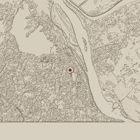
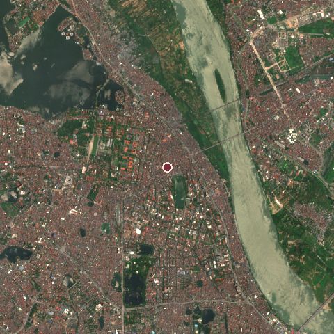
The recorded site stands at about 21 m; within 10.0 km the ground runs from 0 to 35 m, 35 m of relief, gently rolling country and today it is 55% built-up, 22% water, 19% tree cover.
Elevation from the Copernicus DEM GLO-30 (ESA, Airbus); land cover from ESA WorldCover 2021 (CC BY 4.0), within about 5 km of the recorded site. Computed, not recorded.Nearest engagements
- Battle of Hanoi 1946, same recorded site
- Siege of Songping AD 863, 0.7 km SE
- Siege of Đông Quan 1418, 1.3 km SW
- Battle of Cầu Giấy 1873, 5.1 km W
- Operation Ivory Coast 1970, 39 km W
In the same war
- Before: Battle of Meiktila and Mandalay March 1945
- After: Battle of the Sittang Bend 7 August 1945
- All 12 engagements of South-East Asian theater of World War II
Elsewhere in 1945
- Battle of Berlin Germany
- Battle of Iwo Jima Japan
- Battle of Okinawa Japan
- Operation Ten-Go
- Battle of Castle Itter Austria
Japanese coup d'état in French Indochina is one of 2,997 engagements of the 20th century in the atlas and one of 140 in present-day Vietnam.
Sources
Identity, coordinates, dates and the war from Wikidata Q2633177, released under CC0. Result, belligerents, commanders, strength and casualties from the infobox of the English Wikipedia article Japanese coup d'état in French Indochina, revision 1384891013, read 2026-11-14, licensed CC BY-SA 4.0; the article's text is not reproduced here. Present-day country and state from Natural Earth. Dates before 1582 follow the Julian calendar as recorded.