siege, major, Cold War
Iranian Embassy Siege
Iranian Embassy Siege was a siege conducted on 30 April 1980 at South Kensington, in what is now United Kingdom; it lasted 5 days. It was part of Arab separatism in Khuzestan. The recorded result: Embassy recaptured after six-day siege. Recorded strength: 30–35 SAS soldiers, large numbers of Metropolitan Police officers against 6 DRFLA members.
See it on the globe Read the article

Record
| Date | 30 April 1980 to 5 May 1980 | |
|---|---|---|
| Place | South Kensington, United Kingdom 51.502N, 0.172W | |
| Kind | Siege, Cold War | |
| Strength | 30–35 SAS soldiers, large numbers of Metropolitan Police officers | 6 DRFLA members |
| Casualties and losses | Two hostages killed (one prior to assault, one during); two hostages wounded during the assault; one SAS soldier wounded | Five killed, one captured |
| Commanders |
| |
The ground today
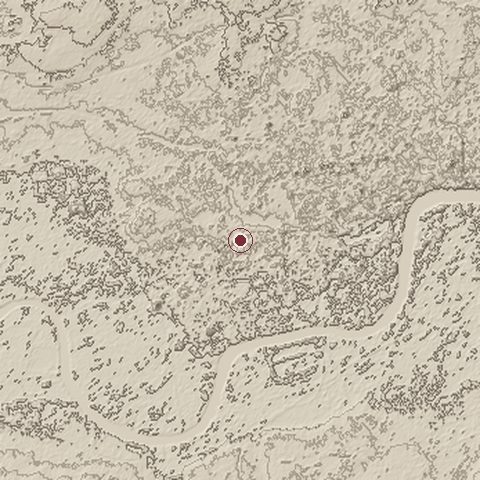
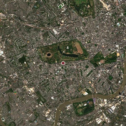
The recorded site stands at about 25 m; within 10.0 km the ground runs from -9 to 72 m, 81 m of relief, gently rolling country and today it is 70% built-up, 23% tree cover, 4% grassland.
Elevation from the Copernicus DEM GLO-30 (ESA, Airbus); land cover from ESA WorldCover 2021 (CC BY 4.0), within about 5 km of the recorded site. Computed, not recorded.Nearest engagements
- Battle of Londinium AD 60, 5.8 km E
- Battle of Turnham Green 1642, 6.6 km W
- Siege of the Tower of London 1460, 6.7 km E
- Siege of Sidney Street 1911, 8.3 km E
- Battle of Brentford 1016, 9.7 km W
Contested ground: this site was fought over 4 times between AD 60 and 1980.
Elsewhere in 1980
- Battle of Khorramshahr Iran
- Siege of Abadan Iran
- Operation Morvarid
- Operation Kaman 99 Iraq
- Operation Scorch Sword Iraq
Iranian Embassy Siege is one of 2,997 engagements of the 20th century in the atlas and one of 695 in present-day United Kingdom.
Sources
Identity, coordinates, dates and the war from Wikidata Q370706, released under CC0. Result, belligerents, commanders, strength and casualties from the infobox of the English Wikipedia article Iranian Embassy siege, revision 1379409102, read 2026-11-14, licensed CC BY-SA 4.0; the article's text is not reproduced here. Present-day country and state from Natural Earth. Dates before 1582 follow the Julian calendar as recorded.