battle, major, interwar and Second World War
Battle of Gabon
Battle of Gabon was a battle fought on 7 November 1940 at Gabon; it lasted 5 days. It was part of the French West Africa in World War II. The recorded result: Free French victory.
See it on the globe Read the article

Record
| Date | 7 November 1940 to 12 November 1940 | |
|---|---|---|
| Place | Gabon 0.390N, 9.452E | |
| Kind | Battle, interwar and Second World War | |
| Territorial change | Free French Forces gain control over Gabon and the remainder of French Equatorial Africa from the Vichy regime. | |
| Strength | Free French: 1,060 men; 1 aviso; 1 minesweeper; 1 cargo ship; Royal Navy: 1 heavy cruiser; 1 sloop | 1,500 men; 1 aviso; 1 submarine |
| Casualties and losses | 20–100 killed; 4 aircraft destroyed | At least 35 killed; 1 aviso destroyed; 1 submarine scuttled |
| Commanders |
|
|

The ground today
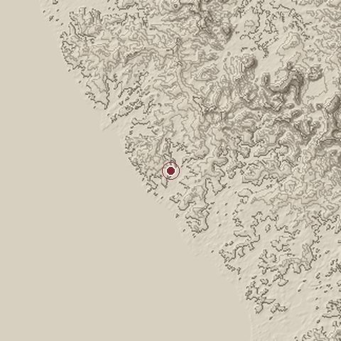
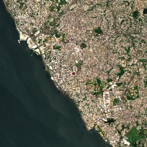
The recorded site stands at about 18 m; within 10.0 km the ground runs from 0 to 118 m, 118 m of relief, gently rolling country and today it is 56% built-up, 32% water, 8% tree cover.
Elevation from the Copernicus DEM GLO-30 (ESA, Airbus); land cover from ESA WorldCover 2021 (CC BY 4.0), within about 5 km of the recorded site. Computed, not recorded.Nearest engagements
- Battle of Ukoko 1914, 67 km N
- 1936 uprising in Spanish Guinea 1936, 166 km NE
- Second Battle of Edea 1915, 387 km N
- First Battle of Edea 1914, 387 km N
- First Battle of Jaunde 1915, 450 km NE
Elsewhere in 1940
- Battle of Britain United Kingdom
- Battle of France Belgium
- Dunkirk evacuation France
- Battle of Dunkirk France
- German invasion of the Netherlands Netherlands
Battle of Gabon is one of 2,997 engagements of the 20th century in the atlas and one of 3 in present-day Gabon.
Sources
Identity, coordinates, dates and the war from Wikidata Q714684, released under CC0. Result, belligerents, commanders, strength and casualties from the infobox of the English Wikipedia article Battle of Gabon, revision 1379781860, read 2026-11-14, licensed CC BY-SA 4.0; the article's text is not reproduced here. Present-day country and state from Natural Earth. Dates before 1582 follow the Julian calendar as recorded.