siege, major, early modern
Siege of Fort Zeelandia
Siege of Fort Zeelandia was a siege conducted on 30 March 1661 at Fort Zeelandia, in what is now Taiwan; it lasted 10 months. It was part of Sino-Dutch conflicts. The recorded result: Ming loyalists victory.
See it on the globe Read the article

Where it sits in Sino-Dutch conflicts
Record
| Date | 30 March 1661 to 1 February 1662 | |
|---|---|---|
| Place | Fort Zeelandia, Taiwan 23.002N, 120.161E | |
| Kind | Siege, early modern | |
| Strength | 25,000, of whom 6,000 advanced on the fort; 400 junks | 905 soldiers (Zeelandia); 140 soldiers (Provintia); 3 ships (Zeelandia); 12 ships (relief) with 700 sailors |
| Casualties and losses | 12,500 deserted or dead, mostly from disease, including more than 2,200 killed by natives | 1,600 killed or died of disease; Zeelandia: 1 warship sunk; Relief: 1 warship sunk, 2 ships abandoned, 3 ships captured |
| Commanders |
|
|
The ground today
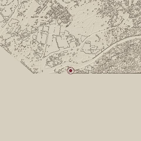
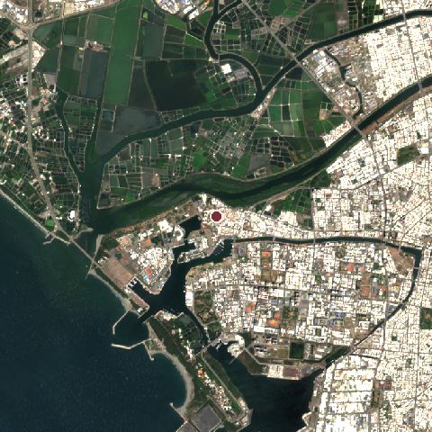
The recorded site stands at about 12 m; within 10.0 km the ground runs from -6 to 27 m, 33 m of relief, flat country and today it is 48% water, 31% built-up, 9% tree cover.
Elevation from the Copernicus DEM GLO-30 (ESA, Airbus); land cover from ESA WorldCover 2021 (CC BY 4.0), within about 5 km of the recorded site. Computed, not recorded.Nearest engagements
- Battle of Penghu 1683, 78 km NW
- Battle of O͘-gû-lân 1947, 134 km NE
- Battle of Liaoluo Bay 1633, 240 km NW
- Battle of Guningtou 1949, 250 km NW
- Battle of Nanri Island 1952, 258 km N
In the same war
- Before: Battle of Liaoluo Bay 7 July 1633
- All 3 engagements of Sino-Dutch conflicts
Elsewhere in 1661
- Battle of Kushliki Belarus
- Action of 27 August 1661 Greece
- Battle of Umberkhind India
- Seizure of the Gilded Lion Denmark
Siege of Fort Zeelandia is one of 1,470 engagements of the 17th century in the atlas and one of 42 in present-day Taiwan.
Sources
Identity, coordinates, dates and the war from Wikidata Q697621, released under CC0. Result, belligerents, commanders, strength and casualties from the infobox of the English Wikipedia article Siege of Fort Zeelandia, revision 1379982063, read 2026-11-14, licensed CC BY-SA 4.0; the article's text is not reproduced here. Present-day country and state from Natural Earth. Dates before 1582 follow the Julian calendar as recorded.