battle, major, interwar and Second World War
Battle of Fort Eben-Emael
Battle of Fort Eben-Emael was a battle fought on 10 May 1940 at Fort Eben-Emael, in what is now Belgium; it lasted 1 day. It was part of the German invasion of Belgium. The recorded result: German victory. Recorded strength: 493 against 1,200+ (estimated).
See it on the globe Read the article

Where it sits in the German invasion of Belgium
Record
| Date | 10 May 1940 to 11 May 1940 | |
|---|---|---|
| Place | Fort Eben-Emael, Belgium 50.797N, 5.681E | |
| Kind | Battle, interwar and Second World War | |
| Strength | 493 | 1,200+ (estimated) |
| Casualties and losses | 6 killed; 20 wounded | 100 killed or wounded; 1,000+ capturedThis figure only refers to casualties and prisoners at Fort Ében-Émael. Belgian casualties taken during fighting at the three bridges is unknown. |
| Commanders |
|
|
The ground today
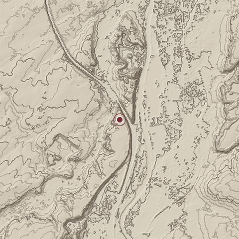
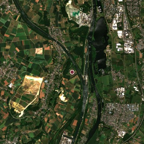
The recorded site stands at about 116 m; within 10.0 km the ground runs from 26 to 175 m, 150 m of relief, hilly country and today it is 28% cropland, 24% tree cover, 23% grassland.
Elevation from the Copernicus DEM GLO-30 (ESA, Airbus); land cover from ESA WorldCover 2021 (CC BY 4.0), within about 5 km of the recorded site. Computed, not recorded.Nearest engagements
- Battle of Lauffeld 1747, 5.6 km NW
- Siege of Maastricht 1676, 5.9 km N
- Battle of Maastricht 1940, 5.9 km N
- Siege of Maastricht 1673, 5.9 km N
- Siege of Maastricht 1579, 5.9 km N
Contested ground: this site was fought over 17 times between 1204 and 1940.
In the same war
Elsewhere in 1940
- Battle of Britain United Kingdom
- Battle of France Belgium
- Dunkirk evacuation France
- Battle of Dunkirk France
- German invasion of the Netherlands Netherlands
Battle of Fort Eben-Emael is one of 2,997 engagements of the 20th century in the atlas and one of 243 in present-day Belgium.
Sources
Identity, coordinates, dates and the war from Wikidata Q714288, released under CC0. Result, belligerents, commanders, strength and casualties from the infobox of the English Wikipedia article Battle of Fort Ében-Émael, revision 1382297892, read 2026-11-14, licensed CC BY-SA 4.0; the article's text is not reproduced here. Present-day country and state from Natural Earth. Dates before 1582 follow the Julian calendar as recorded.