battle, major, nineteenth century
First Battle of Bull Run
First Battle of Bull Run was a battle fought on 21 July 1861 at Fairfax County, in what is now Virginia, United States. It was part of the Eastern theater of the American Civil War. The recorded result: Confederate victory.
See it on the globe Read the article

Record
| Date | 21 July 1861 | |
|---|---|---|
| Place | Fairfax County, Virginia, United States 38.815N, 77.522W | |
| Kind | Battle, nineteenth century | |
| Strength | Army of Northeastern Virginia: 35,732; ( 18,000 engaged); Patterson's Command: 14,000–18,000 (not engaged) | 32,000–34,000; ( 18,000 engaged) |
| Casualties and losses | 2,708; 481 killed; 1,011 wounded; 1,216 missing | 1,982; 387 killed; 1,582 wounded; 13 missing |
| Commanders | ||


The ground today
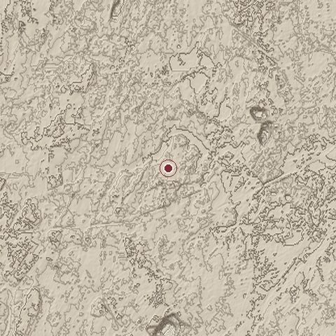
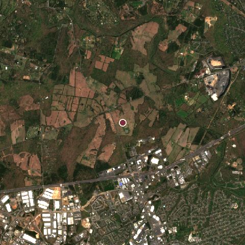
The recorded site stands at about 83 m; within 10.0 km the ground runs from -62 to 123 m, 185 m of relief, hilly country and today it is 56% tree cover, 29% grassland, 13% built-up.
Elevation from the Copernicus DEM GLO-30 (ESA, Airbus); land cover from ESA WorldCover 2021 (CC BY 4.0), within about 5 km of the recorded site. Computed, not recorded.Nearest engagements
- Second Battle of Bull Run 1862, 0.3 km S
- Battle of Blackburn's Ford 1861, 6.5 km E
- Manassas Station Operations 1862, 9.4 km S
- Battle of Bristoe Station 1863, 10 km S
- Battle of Chantilly 1862, 14 km NE
In the same war
- After: Second Battle of Bull Run 1862
Elsewhere in 1861
- Battle of Fort Sumter United States
- Battle of Wilson's Creek United States
- Battle of Belmont United States
- Battle of Big Bethel United States
- Battle of Pavón Argentina
Combat data (CDB90)
| Attacker: US ARMY | Defender: CS ARMY | |
| Strength | 35,000 | 32,500 |
| Casualties | 2,896 (8.3%) | 1,982 (6.1%) |
| Mission accomplishment, 1 to 10 | 4 | 6 |
| Outcome | defender won | |
| Duration | 1 day | |
| Front width | 4.5 km | 4 km |
| Attacker advanced | -3.2 km | |
From the US Army Concepts Analysis Agency Database of Battles (CDB90, battle 171), public domain, in the CC0 tidy edition by Jeffrey B. Arnold. Figures are the database's estimates, compiled in 1990 from published histories, and may differ from the Wikipedia infobox above.
The National Park Service's American Battlefield Protection Program maps this as the Second Manassas battlefield (site VA026): a study area of 28,479 acres, with a core area of 11,314 acres where the fighting was concentrated; 13,162 acres retain enough integrity to be potentially eligible for the National Register.
First Battle of Bull Run is one of 3,507 engagements of the 19th century in the atlas and one of 1,148 in present-day United States (172 in Virginia).
Sources
Identity, coordinates, dates and the war from Wikidata Q221469, released under CC0. Result, belligerents, commanders, strength and casualties from the infobox of the English Wikipedia article First Battle of Bull Run, revision 1385119562, read 2026-11-14, licensed CC BY-SA 4.0; the article's text is not reproduced here. Present-day country and state from Natural Earth. Battlefield boundary and area from the National Park Service American Battlefield Protection Program (public domain). Dates before 1582 follow the Julian calendar as recorded.