siege, major, early modern
Fall of Tenochtitlan
Fall of Tenochtitlan was a siege conducted on 10 May 1521 at Tenochtitlan, in what is now Mexico; it lasted 3 months. The recorded result: Spanish and Tlaxcaltec victory; Fall of the Mexica.
See it on the globe Read the article

Record
| Date | 10 May 1521 to 13 August 1521 | |
|---|---|---|
| Place | Tenochtitlan, Mexico 19.435N, 99.131W | |
| Kind | Siege, early modern | |
| Territorial change | Creation of the Kingdom of New Spain | |
| Strength | 900–1,300 Spanish infantry; 86 cavalry; 16 cannons; 13 lake brigantines; 50,000–200,000 Native allies | 80,000 warriors; 400 war canoes |
| Casualties and losses | 450–860 Spanish; 20,000 Natives | 100,000 killed in action; 300 war canoes sunk; At least 40,000 Aztecs civilians killed and captured, other sources claim 100,000 to 240,000 were killed in the campaign overall including warriors and civilians |
| Commanders |
|
|

The ground today
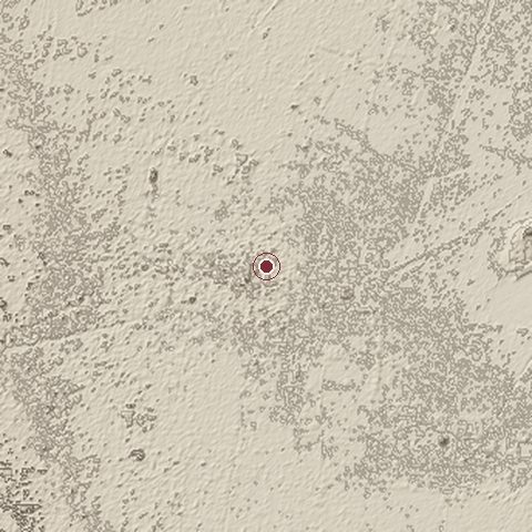
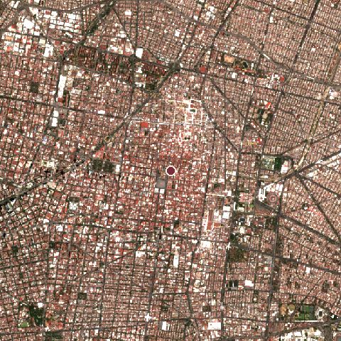
The recorded site stands at about 2,230 m; within 10.0 km the ground runs from 2,223 to 2,288 m, 65 m of relief, gently rolling country and today it is 89% built-up, 8% tree cover, 2% bare ground.
Elevation from the Copernicus DEM GLO-30 (ESA, Airbus); land cover from ESA WorldCover 2021 (CC BY 4.0), within about 5 km of the recorded site. Computed, not recorded.Nearest engagements
- Battle of Colhuacatonco 1521, 1.0 km NW
- Battle of Tlatelolco 1473, 1.9 km N
- Siege of Mexico City 1867, 2.3 km SW
- Battle of Chapultepec 1847, 5.5 km W
- Battle of Molino del Rey 1847, 6.5 km W
Contested ground: this site was fought over 6 times between 1473 and 1867.
Elsewhere in 1521
- Siege of Belgrade Serbia
- Battle of Six Seven Philippines
- Battle of Villalar Spain
- Battle of Noáin Spain
- Battle of Pamplona Spain
Fall of Tenochtitlan is one of 1,390 engagements of the 16th century in the atlas and one of 160 in present-day Mexico.
Sources
Identity, coordinates, dates and the war from Wikidata Q593267, released under CC0. Result, belligerents, commanders, strength and casualties from the infobox of the English Wikipedia article Fall of Tenochtitlan, revision 1383666968, read 2026-11-14, licensed CC BY-SA 4.0; the article's text is not reproduced here. Present-day country and state from Natural Earth. Dates before 1582 follow the Julian calendar as recorded.