siege, landmark, medieval
Fall of Constantinople
Fall of Constantinople was a siege conducted on 6 April 1453 at Constantinople, in what is now Turkey; it lasted 53 days. It was part of the Byzantine–Ottoman wars, which ran from 1265 to 1479. The recorded result: Ottoman victory.
See it on the globe Read the article

Where it sits in the Byzantine–Ottoman wars
Record
| Date | 6 April 1453 to 29 May 1453 | |
|---|---|---|
| Place | Constantinople, Turkey 41.030N, 28.935E | |
| Kind | Siege, medieval | |
| Territorial change | Constantinople conquered by the Ottomans; Fall of the Byzantine Empire | |
The ground today
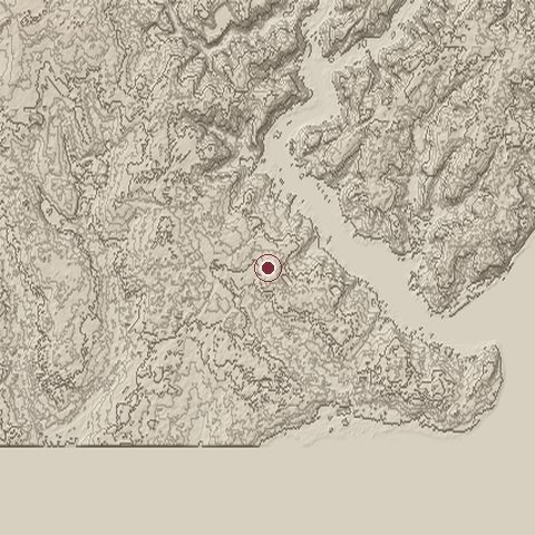
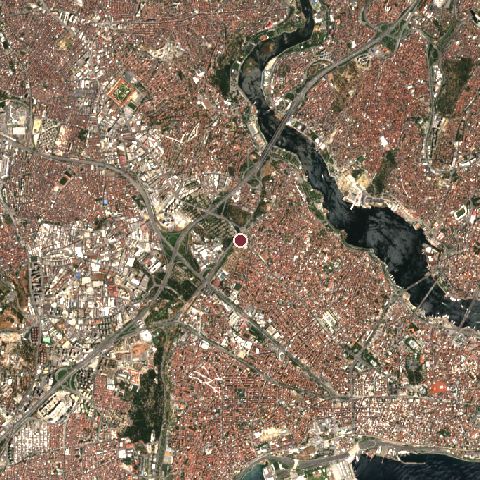
The recorded site stands at about 79 m; within 10.0 km the ground runs from -14 to 155 m, 169 m of relief, hilly country and today it is 80% built-up, 12% tree cover, 6% water.
Elevation from the Copernicus DEM GLO-30 (ESA, Airbus); land cover from ESA WorldCover 2021 (CC BY 4.0), within about 5 km of the recorded site. Computed, not recorded.Nearest engagements
- Siege of Constantinople 1204, 1.2 km NE
- Battle of Constantinople 1241, 2.5 km SE
- Siege of Pera 1352, 3.5 km E
- Battle of Constantinople AD 378, 3.6 km S
- Battle of Katasyrtai AD 917, 3.8 km W
Contested ground: this site was fought over 43 times between 510 BC and 1453.
In the same war
- Before: Siege of Thessalonica 1383
- After: Siege of Trebizond in 1461 14 September 1460
- All 18 engagements of Byzantine–Ottoman wars
Elsewhere in 1453
- Battle of Castillon France
- Battle of Pollog North Macedonia
- Battle of Gavere Belgium
- Battle of Ghedi Italy
- Siege of Bordeaux France
Fall of Constantinople is one of 720 engagements of the 15th century in the atlas and one of 622 in present-day Turkey.
Sources
Identity, coordinates, dates and the war from Wikidata Q160077, released under CC0. Result, belligerents, commanders, strength and casualties from the infobox of the English Wikipedia article Fall of Constantinople, revision 1384652386, read 2026-11-14, licensed CC BY-SA 4.0; the article's text is not reproduced here. Present-day country and state from Natural Earth. Dates before 1582 follow the Julian calendar as recorded.