siege, landmark, medieval
Eighth Crusade
Eighth Crusade was a siege conducted in 1270 at Tunis, in what is now Tunisia. Its exact site is not recorded; the atlas places it at Tunis. It was part of Q104664744. The recorded result: Withdrawal of Crusaders from Ifriqiya; Death of Louis IX of France; Treaty of Tunis; Opening of trade with Tunis.
See it on the globe Read the article
Record
| Date | 1270 (year precision) to 1270 | |
|---|---|---|
| Place | Tunis, Tunisia 36.801N, 10.180E | |
| Kind | Siege, medieval | |
| Territorial change | No changes in territory, though there were changes in economic and political rights in the Treaty of Tunis | |
| Commanders |
|
|


The ground today
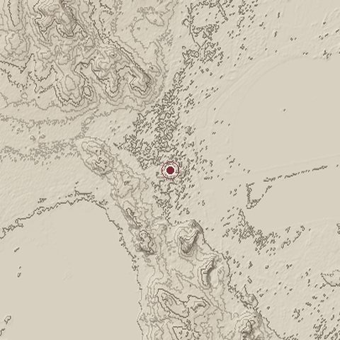
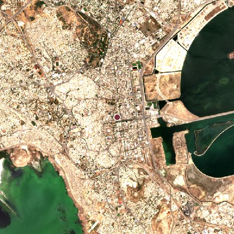
The recorded site stands at about 18 m; within 10.0 km the ground runs from -6 to 148 m, 155 m of relief, hilly country and today it is 58% built-up, 17% water, 12% grassland.
Elevation from the Copernicus DEM GLO-30 (ESA, Airbus); land cover from ESA WorldCover 2021 (CC BY 4.0), within about 5 km of the recorded site. Computed, not recorded.Nearest engagements
- Conquest of Tunis 1574, same recorded site
- Siege of Tunis 1694, 0.6 km N
- Siege of Tunis 1705, 0.6 km N
- Conquest of Tunis 1535, 1.2 km W
- Siege of Tunis 238 BC, 1.2 km W
Elsewhere in 1270
- Battle of Karuse Estonia
- Battle of Demetrias Greece
- Battle of Neopatras Greece
- Battle of Herat Afghanistan
- Siege of Tunis Tunisia
Eighth Crusade is one of 590 engagements of the 13th century in the atlas and one of 119 in present-day Tunisia.
Sources
Identity, coordinates, dates and the war from Wikidata Q243684, released under CC0. Result, belligerents, commanders, strength and casualties from the infobox of the English Wikipedia article Eighth Crusade, revision 1379989332, read 2026-11-14, licensed CC BY-SA 4.0; the article's text is not reproduced here. Present-day country and state from Natural Earth. Dates before 1582 follow the Julian calendar as recorded.