battle, major, medieval
Battle of Dunbar
Battle of Dunbar was a battle fought on 27 April 1296 at Dunbar, in what is now United Kingdom. It was part of First War of Scottish Independence, which ran from 1296 to 1328. The recorded result: English victory. Recorded strength: Hundreds of cavalry, Heavily outnumbering the English against Hundreds of cavalry, Fewer than the Scottish.
See it on the globe Read the article

Where it sits in First War of Scottish Independence
Record
| Date | 27 April 1296 | |
|---|---|---|
| Place | Dunbar, United Kingdom 55.977N, 2.521W | |
| Kind | Battle, medieval | |
| Strength | Hundreds of cavalry, Heavily outnumbering the English | Hundreds of cavalry, Fewer than the Scottish |
| Commanders |
| |

The ground today
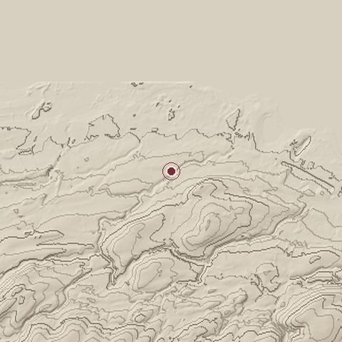
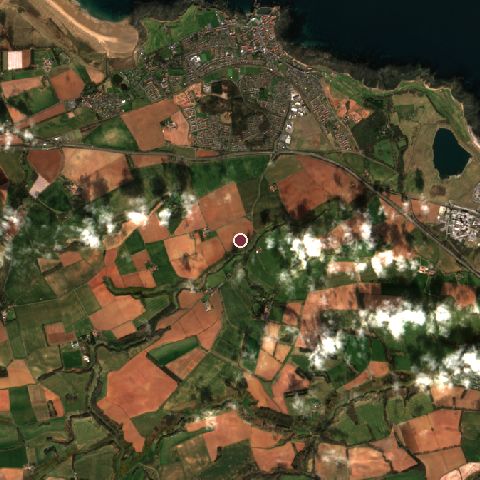
The recorded site stands at about 58 m; within 10.0 km the ground runs from -20 to 343 m, 364 m of relief, hilly country and today it is 49% cropland, 25% grassland, 16% tree cover.
Elevation from the Copernicus DEM GLO-30 (ESA, Airbus); land cover from ESA WorldCover 2021 (CC BY 4.0), within about 5 km of the recorded site. Computed, not recorded.Nearest engagements
- Battle of Dunbar 1650, 2.4 km E
- Battle of Piperdean 1436, 15 km SE
- Siege of Haddington 1548, 16 km W
- Battle of Duns 1372, 25 km SE
- Battle of Prestonpans 1745, 27 km W
In the same war
- Before: Capture of Berwick 30 March 1296
- After: Action at Lanark April 1297
- All 22 engagements of First War of Scottish Independence
Elsewhere in 1296
- Battle of Coffrane Switzerland
- Siege of Nedroma Algeria
- Siege of Cartagena Spain
Historic Environment Scotland registers this as the Battle of Dunbar I battlefield (entry BTL31), 1,108 hectares, under the Open Government Licence.
Battle of Dunbar is one of 590 engagements of the 13th century in the atlas and one of 695 in present-day United Kingdom.
Sources
Identity, coordinates, dates and the war from Wikidata Q1509663, released under CC0. Result, belligerents, commanders, strength and casualties from the infobox of the English Wikipedia article Battle of Dunbar (1296), revision 1384072173, read 2026-11-14, licensed CC BY-SA 4.0; the article's text is not reproduced here. Present-day country and state from Natural Earth. Battlefield boundary and area from Historic Environment Scotland (Open Government Licence). Dates before 1582 follow the Julian calendar as recorded.