battle, landmark, early modern
Battle of Culloden
Battle of Culloden was a battle fought on 27 April 1746 at Culloden, in what is now United Kingdom. It was part of Jacobite risings, which ran from 1688 to 1746. The recorded result: Government victory. Recorded strength: 6,900–7,200 against 5,000–6,000.
See it on the globe Read the article

Where it sits in Jacobite risings
Record
| Date | 27 April 1746 | |
|---|---|---|
| Place | Culloden, United Kingdom 57.477N, 4.093W | |
| Kind | Battle, early modern | |
| Strength | 6,900–7,200 | 5,000–6,000 |
| Casualties and losses | 50 killed, 259 wounded | 1,500–2,000 killed and wounded; 376 captured |
| Commanders |
|
|


The ground today
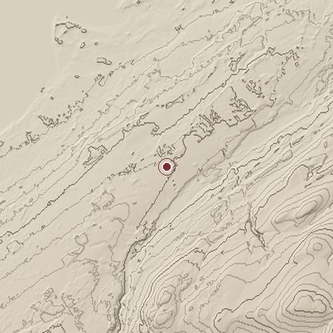
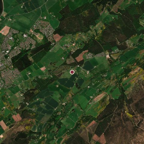
The recorded site stands at about 154 m; within 10.0 km the ground runs from -1 to 547 m, 547 m of relief, steep country and today it is 45% grassland, 42% tree cover, 11% cropland.
Elevation from the Copernicus DEM GLO-30 (ESA, Airbus); land cover from ESA WorldCover 2021 (CC BY 4.0), within about 5 km of the recorded site. Computed, not recorded.Nearest engagements
- Siege of Culloden House 1745, 2.9 km NW
- Siege of Inverness 1429, 7.9 km W
- Siege of Inverness 1746, 7.9 km W
- Siege of Inverness 1649, 7.9 km W
- Siege of Inverness 1715, 7.9 km W
Contested ground: this site was fought over 10 times between 1429 and 1746.
In the same war
- Before: Battle of Falkirk Muir 28 January 1746
- All 6 engagements of Jacobite risings
Elsewhere in 1746
- Battle of Rocoux Belgium
- Battle of Piacenza Italy
- Siege of Brussels Belgium
- Battle of Rottofreddo Italy
- Battle of Madras India
Combat data (CDB90)
| Attacker: SCOT REB ARMY | Defender: BR ARMY | |
| Strength | 5,400 | 9,000 |
| Casualties | 1,558 (28.9%) | 309 (3.4%) |
| Mission accomplishment, 1 to 10 | 3 | 9 |
| Outcome | defender won | |
| Duration | 1 day | |
| Front width | 0.7 km | 1.5 km |
| Attacker advanced | 0 km | |
From the US Army Concepts Analysis Agency Database of Battles (CDB90, battle 63), public domain, in the CC0 tidy edition by Jeffrey B. Arnold. Figures are the database's estimates, compiled in 1990 from published histories, and may differ from the Wikipedia infobox above.
Historic Environment Scotland registers this as the Battle of Culloden battlefield (entry BTL6), 654 hectares, under the Open Government Licence.
Battle of Culloden is one of 2,009 engagements of the 18th century in the atlas and one of 695 in present-day United Kingdom.
Sources
Identity, coordinates, dates and the war from Wikidata Q651919, released under CC0. Result, belligerents, commanders, strength and casualties from the infobox of the English Wikipedia article Battle of Culloden, revision 1370109396, read 2026-11-14, licensed CC BY-SA 4.0; the article's text is not reproduced here. Present-day country and state from Natural Earth. Battlefield boundary and area from Historic Environment Scotland (Open Government Licence). Dates before 1582 follow the Julian calendar as recorded.