battle, major, medieval
Battle of Civitate
Battle of Civitate was a battle fought on 18 June 1053 at San Paolo di Civitate, in what is now Italy. It was part of the Norman conquest of southern Italy, which ran from 1100 to 1200. The recorded result: Norman victory. Recorded strength: 3,000 horsemen; 500 infantry against 6,000, infantry and horsemen.
See it on the globe Read the article

Where it sits in the Norman conquest of southern Italy
Record
| Date | 18 June 1053 | |
|---|---|---|
| Place | San Paolo di Civitate, Italy 41.733N, 15.267E | |
| Kind | Battle, medieval | |
| Strength | 3,000 horsemen; 500 infantry | 6,000, infantry and horsemen |
| Commanders |
|
|
The ground today
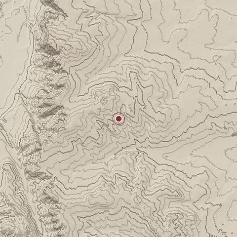
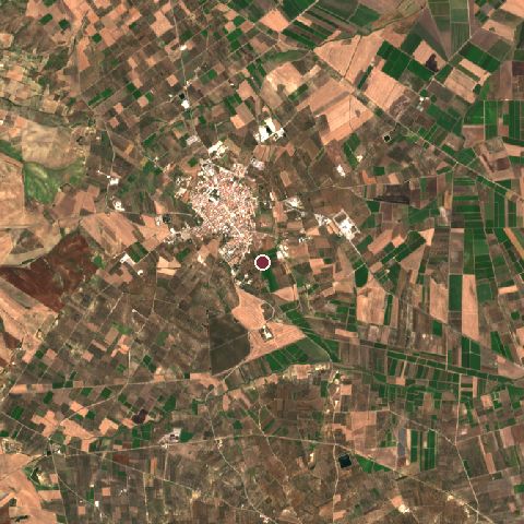
The recorded site stands at about 157 m; within 10.0 km the ground runs from 23 to 221 m, 198 m of relief, hilly country and today it is 46% cropland, 37% tree cover, 9% grassland.
Elevation from the Copernicus DEM GLO-30 (ESA, Airbus); land cover from ESA WorldCover 2021 (CC BY 4.0), within about 5 km of the recorded site. Computed, not recorded.Nearest engagements
- Battle of Rignano 1137, 27 km E
- Siege of Arpi 213 BC, 37 km SE
- Battle of Geronium 217 BC, 44 km W
- Battle of Herdonia 210 BC, 55 km SE
- Battle of Herdonia 212 BC, 55 km SE
In the same war
- Before: Battle of Montepeloso 3 September 1041
- After: Siege of Salerno 1076
- All 7 engagements of Norman conquest of southern Italy
Elsewhere in 1053
- Siege of Medina Malta
- Battle of Kairouan Tunisia
- Siege of Sousse Tunisia
Battle of Civitate is one of 318 engagements of the 11th century in the atlas and one of 942 in present-day Italy.
Sources
Identity, coordinates, dates and the war from Wikidata Q61100, released under CC0. Result, belligerents, commanders, strength and casualties from the infobox of the English Wikipedia article Battle of Civitate, revision 1383139930, read 2026-11-14, licensed CC BY-SA 4.0; the article's text is not reproduced here. Present-day country and state from Natural Earth. Dates before 1582 follow the Julian calendar as recorded.