battle, major, medieval
Battle of Blue Waters
Battle of Blue Waters was a battle fought on 24 September 1362 in what is now Ukraine; it lasted 3 months. It was part of Great Troubles, which ran from 1359 to 1380. The recorded result: Lithuanian–Moldavian victory. Recorded strength: 20,000–25,000 against 10,000–20,000.
See it on the globe Read the article

Record
| Date | 24 September 1362 to 25 December 1362 | |
|---|---|---|
| Place | Ukraine 48.658N, 30.783E | |
| Kind | Battle, medieval | |
| Territorial change | Principality of Kiev became part of the Grand Duchy of Lithuania; Principality of Moldavia breaks off from the Golden Horde's influence | |
| Strength | 20,000–25,000 | 10,000–20,000 |
| Casualties and losses | Unknown | Heavy |
| Commanders |
|
|
The ground today
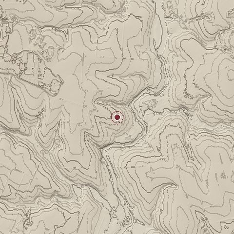
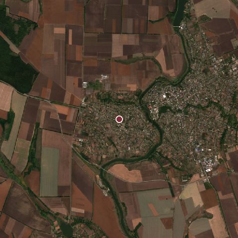
The recorded site stands at about 153 m; within 10.0 km the ground runs from 97 to 218 m, 121 m of relief, gently rolling country and today it is 61% cropland, 20% tree cover, 10% grassland.
Elevation from the Copernicus DEM GLO-30 (ESA, Airbus); land cover from ESA WorldCover 2021 (CC BY 4.0), within about 5 km of the recorded site. Computed, not recorded.Nearest engagements
- Battle of Uman 1941, 12 km SW
- Battle of Perehonivka 1919, 33 km SW
- Siege of Medvine 1664, 81 km N
- Battle of Korsuń 1648, 91 km N
- Battle of the Korsun–Cherkassy Pocket 1944, 92 km NE
In the same war
- After: Battle of Sauran 1376
Elsewhere in 1362
- Battle of Helsingborg Sweden
- Battle of Brignais France
- Siege of Kaunas Lithuania
- Battle of Guadix Spain
- Battle of Launac France
Battle of Blue Waters is one of 566 engagements of the 14th century in the atlas and one of 301 in present-day Ukraine.
Sources
Identity, coordinates, dates and the war from Wikidata Q954356, released under CC0. Result, belligerents, commanders, strength and casualties from the infobox of the English Wikipedia article Battle of Blue Waters, revision 1374115605, read 2026-11-14, licensed CC BY-SA 4.0; the article's text is not reproduced here. Present-day country and state from Natural Earth. Dates before 1582 follow the Julian calendar as recorded.