battle, major, interwar and Second World War
Attack on Mers-El-Kebir
Attack on Mers-El-Kebir was a battle fought on 3 July 1940 at Mers El Kebir, in what is now France. It was part of Operation Catapult. The recorded result: See Aftermath.
See it on the globe Read the article

Record
| Date | 3 July 1940 | |
|---|---|---|
| Place | Mers El Kebir, France 35.719N, 0.689W | |
| Kind | Battle, interwar and Second World War | |
| Strength | 1 aircraft carrier; 2 battleships; 1 battlecruiser; 2 light cruisers; 11 destroyers; At least 23 aircraft | 4 battleships; 6 destroyers; 1 aviso; 1 seaplane tender; 42 aircraft |
| Casualties and losses | 2 aircrew killed; 2 sailors wounded; 3 Swordfish; 2 Skuas | 1,297 killed; 350 wounded; 1 battleship sunk; 2 battleships damaged; 2 destroyers damaged; 1 seaplane tender damaged; 1 destroyer grounded; 1 tugboat destroyed; 3 aircraft damaged |
| Commanders |
|
|
The ground today
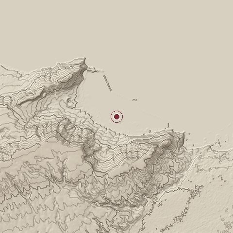
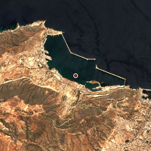
The recorded site stands at about 0 m; within 10.0 km the ground runs from -8 to 509 m, 517 m of relief, steep country and today it is 43% water, 20% grassland, 16% tree cover.
Elevation from the Copernicus DEM GLO-30 (ESA, Airbus); land cover from ESA WorldCover 2021 (CC BY 4.0), within about 5 km of the recorded site. Computed, not recorded.Nearest engagements
- Capture of Mers-el-Kébir 1505, 2.9 km NW
- Battle of l'Habrah 1835, 4.0 km SE
- Capture of Oran 1831, 4.0 km SE
- Siege of Oran 1556, 5.6 km SE
- Sieges of Oran and Mers El Kébir 1563, 5.6 km SE
Contested ground: this site was fought over 9 times between 1505 and 1940.
Elsewhere in 1940
- Battle of Britain United Kingdom
- Battle of France Belgium
- Dunkirk evacuation France
- Battle of Dunkirk France
- German invasion of the Netherlands Netherlands
Attack on Mers-El-Kebir is one of 2,997 engagements of the 20th century in the atlas and one of 1,383 in present-day France.
Sources
Identity, coordinates, dates and the war from Wikidata Q503347, released under CC0. Result, belligerents, commanders, strength and casualties from the infobox of the English Wikipedia article Attack on Mers-el-Kébir, revision 1379779948, read 2026-11-14, licensed CC BY-SA 4.0; the article's text is not reproduced here. Present-day country and state from Natural Earth. Dates before 1582 follow the Julian calendar as recorded.