battle, landmark, medieval
Battle of Ankara
Battle of Ankara was a battle fought on 20 July 1402 at Çubuk Ovası, in what is now Turkey. It was part of the Timurid invasion of the Ottoman Empire, which ran from 1402 to 1403. The recorded result: Timurid victory. Recorded strength: 140,000 against 85,000–120,000.
See it on the globe Read the article

Record
| Date | 20 July 1402 | |
|---|---|---|
| Place | Çubuk Ovası, Turkey 40.150N, 32.950E | |
| Kind | Battle, medieval | |
| Strength | 140,000 | 85,000–120,000 |
| Casualties and losses | 15,000–40,000 | 40,000–50,000 |
| Commanders |
|
|


The ground today
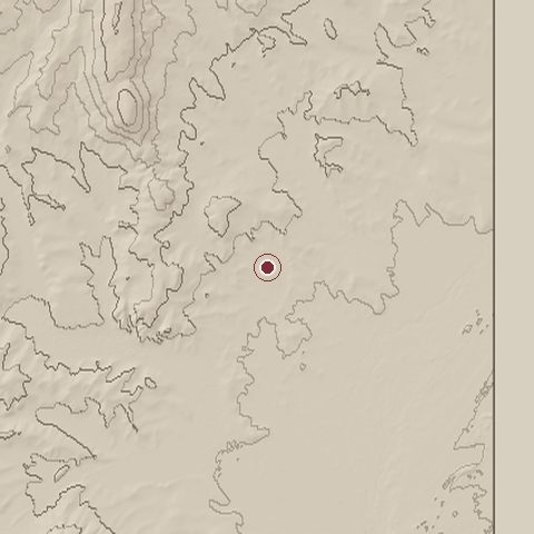
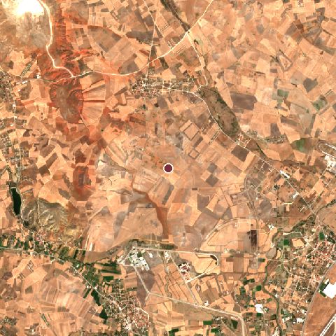
The recorded site stands at about 965 m; within 10.0 km the ground runs from 0 to 1,308 m, 1,308 m of relief, mountainous country and today it is 77% cropland, 16% grassland, 4% built-up.
Elevation from the Copernicus DEM GLO-30 (ESA, Airbus); land cover from ESA WorldCover 2021 (CC BY 4.0), within about 5 km of the recorded site. Computed, not recorded.Nearest engagements
- Battle of the River Amnias 89 BC, 105 km E
- Siege of Claudiopolis 1179, 131 km NW
- Siege of Manzikert 1054, 152 km SW
- Battle of the Zompe Bridge 1074, 169 km SW
- Siege of Heraclea 72 BC, 181 km NW
In the same war
- Before: Siege of Ankara 1402
Elsewhere in 1402
- Siege of Smyrna Turkey
- Battle of Casalecchio Italy
- Battle of Bryn Glas United Kingdom
- Battle of Homildon Hill United Kingdom
- Battle of Tripolje Serbia
Battle of Ankara is one of 720 engagements of the 15th century in the atlas and one of 622 in present-day Turkey.
Sources
Identity, coordinates, dates and the war from Wikidata Q209387, released under CC0. Result, belligerents, commanders, strength and casualties from the infobox of the English Wikipedia article Battle of Ankara, revision 1385366682, read 2026-11-14, licensed CC BY-SA 4.0; the article's text is not reproduced here. Present-day country and state from Natural Earth. Dates before 1582 follow the Julian calendar as recorded.